For GIS-integrated drone mapping, Esri Drone2Map is where this list starts. Listed starting prices: SimActive Correlator3D from $295 per month. SimActive Correlator3D is the stronger choice for high-end mapping from several products, while 3DF Zephyr suits close-range 3D reconstruction from photos. The other 2 tools in the list cover narrower or pricier cases.
Ainotely put together this guide to Agisoft Metashape for readers who want a clear shortlist without reading every vendor page. It compares 5 tools on starting price, free plans, who each one suits and where each one falls short.
Key takeaways
The list opens with Esri Drone2Map, aimed at GIS-integrated drone mapping.
What to know about 3DF Zephyr first: may be less optimized for large-scale drone mapping.
Pix4Dcloud suits cloud-based drone mapping and sharing.
Neither Esri Drone2Map nor Pix4Dcloud, nor any of the other 3 tools, has a permanent free plan; trials and quotes are the norm.
Esri Drone2Map was built for GIS-integrated drone mapping. ArcGIS Drone2Map is a desktop app for GIS drone mapping needs, offering 2D and 3D photogrammetry capabilities. It is built to produce the outputs needed for GIS analysis and plugs into the broader ArcGIS ecosystem.
Where it falls short: Desktop-based workflow.
Worth adding: for users outside the Esri environment, it may offer less adaptability than standalone tools like Pix4Dmapper or 3DF Zephyr. It is also desktop-based, so cloud collaboration is not its primary focus. Users already working within Esri's product will find Drone2Map a natural alternative to Agisoft Metashape, as it simplifies the transition from drone imagery to GIS-ready products. Pricing for Esri Drone2Map is not stated here, so ask the vendor for current figures. Trial and free access: Not stated.
Choose SimActive Correlator3D for high-end mapping from multiple products. It is designed for professional mapping workflows that demand speed and scalability across large areas. In daily use, Correlator3D is desktop software and may need substantial computing power for large datasets.
What to check first: Desktop-based.
It is less oriented toward close-range 3D reconstruction than 3DF Zephyr. Also, users who require to process imagery from several systems and create accurate geospatial products will find Correlator3D a feature-rich alternative to Agisoft Metashape, especially in production environments where throughput matters. Starting cost for SimActive Correlator3D: $295 per month. Trial and free access: Free trial.
Best for: Close-range 3D reconstruction from photos
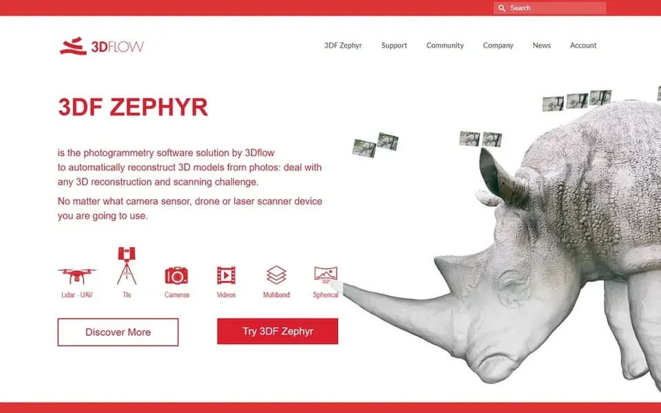
3DF Zephyr makes the most sense for close-range 3D reconstruction from photos. Users who require to turn overlapping images into in-depth 3D assets will find it a capable alternative to Agisoft Metashape, particularly when the focus is on model quality instead of large-area mapping. As for the details, if your primary goal is georeferenced aerial mapping, those tools might be more appropriate.
Worth adding: 3DF Zephyr is a complete photogrammetry software that automatically reconstructs 3D models from photos. It is positioned as a tool for capturing reality, making it a good match for close-range objects, scenes, and heritage documentation. Beyond that, Whereas 3DF Zephyr deals with general photogrammetry, it may not be as tailored to classic drone mapping as Pix4Dmapper or Correlator3D. 3DF Zephyr does not show a starting price in this comparison, so check the vendor site for current pricing. Free options: Not stated.
Honest limits: May be less optimized for large-scale drone mapping.
Best for: Professional drone mapping and 3D models
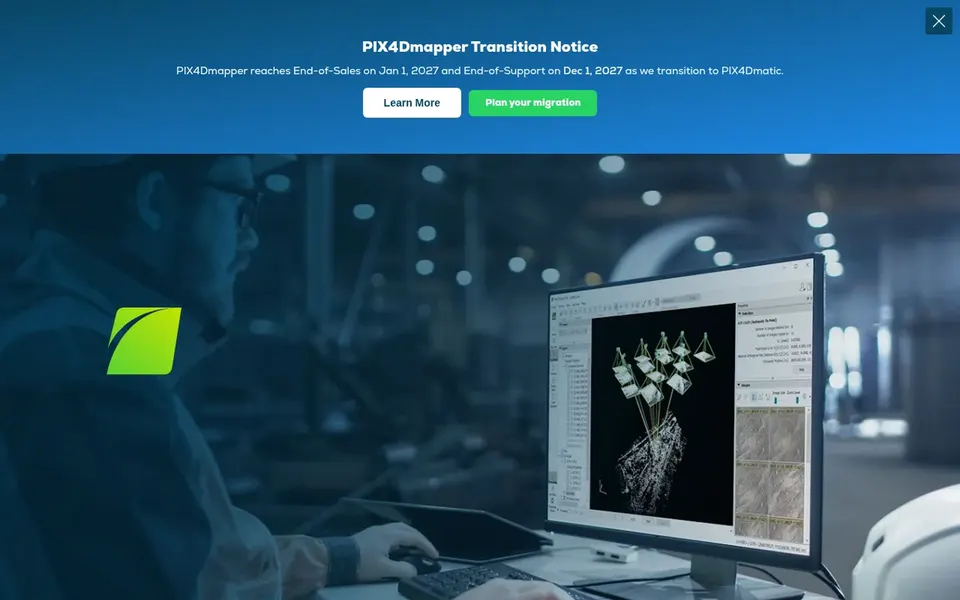
Pix4Dmapper serves professional drone mapping and 3D models. Pix4Dmapper is a photogrammetry software centred on professional drone mapping. It transforms aerial and ground images into accurate, georeferenced maps and 3D models.
Worth adding: Pix4Dmapper is desktop software, so it may demand significant computing resources for large projects. In daily use, if you prefer a cloud-based workflow or have to share results easily, consider Pix4Dcloud instead. Also, for close-range object reconstruction instead of drone mapping, 3DF Zephyr may be a better fit. This comparison lists no price for Pix4Dmapper; ask the vendor. Free plan details: Free trial.
Where it is weaker: Less suited for non-drone close-range capture.
Pix4Dcloud is a good fit for cloud-based drone mapping and sharing. Pix4Dcloud is cloud-based drone mapping software that uses Pix4D photogrammetry expertise online. This makes it a convenient alternative for teams that want to avoid managing local processing hardware and have to share results easily across stakeholders.
Honest limits: Needs internet connection.
Where Pix4Dcloud stands out: Automatically creates 2D and 3D maps and models.
For everyday use, if you need full local control or work offline, a desktop option may be preferable. Also, since Pix4Dcloud is cloud-based, it relies on internet access and may not suit projects with strict data residency requirements. It also provides less control over the processing environment compared with desktop tools like Pix4Dmapper. Check the vendor site for Pix4Dcloud pricing; none is listed in this comparison. Free plan details: Free trial.
Confirm the entry price on the vendor page. For Esri Drone2Map, 3DF Zephyr, Pix4Dmapper and Pix4Dcloud that means a quote rather than a fixed price.
Run a trial of SimActive Correlator3D, Pix4Dmapper and Pix4Dcloud with real work before paying for a year; your own workflow is the best test.
Before choosing Esri Drone2Map, weigh its main limit: a good match for existing Esri users.
Confirm that Pix4Dmapper connects to the apps your team already uses, on the plan you would actually buy.
Work out what SimActive Correlator3D costs with your real seat count, add-ons and usage, not just the entry price.
How we picked
For each of the 5 tools we noted price, free plan or trial, fit for Agisoft Metashape and the main limit, using vendor pages and documentation. Figures are shown as the vendors publish them. Billing terms, seat minimums and add-ons can change the real cost. We ordered the tools by general fit, then by how clearly pricing is shown, then by free access. A buyer with unusual needs may reorder them.
Every price and plan detail on this page comes from the vendors’ own websites. We did not run hands-on tests unless the text says so, and we do not publish star ratings or review scores. See how we score and our disclosure.
Keep your shortlist in one place
Paste prices, trial dates and notes from this guide into Ainotely, our AI note app. It files them into a topic and pulls out tasks like “cancel trial by Friday”. Free 7-day trial, no card needed.
Is Esri Drone2Map the right pick for everyone comparing Agisoft Metashape?
No single tool suits every team. Esri Drone2Map comes first because it fits GIS-integrated drone mapping, while SimActive Correlator3D suits high-end mapping from multiple platforms and 3DF Zephyr suits close-range 3D reconstruction from photos. Match the tool to your own size, budget and workflow before deciding.
What is the cheapest option for Agisoft Metashape in this list?
On published monthly entry prices, SimActive Correlator3D is the lowest here at $295 per month. Entry price is only part of the cost, because seats, add-ons and billing terms can change the total. For the full picture, the cards above cover all 5 entries of this Agisoft Metashape alternatives list, including price, free plan and limits.
Which alternative is a good match for close-range 3D reconstruction?
This list starts with Esri Drone2Map, which fits GIS-integrated drone mapping. For other needs, SimActive Correlator3D is aimed at high-end mapping from several systems, and 3DF Zephyr at close-range 3D reconstruction from photos. Check each tool's price and main limit first.
Can I try these tools before paying?
Often, yes. SimActive Correlator3D, Pix4Dmapper and Pix4Dcloud offer a free trial. Use your own data and a real task during the test, and check what the free tier or trial limits before you rely on it.
Does any tool for Agisoft Metashape here have a free plan?
No tool in this list, Esri Drone2Map and Pix4Dcloud included, has a permanent free plan. SimActive Correlator3D, Pix4Dmapper, Pix4Dcloud offer a trial. Trials and quotes are the usual route, so plan a short evaluation period.