Start with UGCS if you need complicated automatic mission planning. Propeller Aero is the stronger choice for Earthworks and construction analytics, while DJI Terra suits 2D and 3D reconstruction. The full list of 5 tools follows, with prices and free plan facts.
Short on time? The summary and table above give the quick view of 5 tools for drone flight planning software, and the profiles that follow give the detail behind each entry.
Key takeaways
UGCS sits first on this list: complicated automatic mission planning.
DJI FlightHub 2 comes with a trade-off: operations focus, not photogrammetry.
No starting price is shown for any of the 5 tools, UGCS and Esri Drone2Map included, so plan time for sales calls.
Neither UGCS nor Esri Drone2Map, nor any of the other 3 tools, has a permanent free plan; trials and quotes are the norm.
In short, UGCS is for complicated automatic mission planning. UgCS centers on planning and automation, so teams wanting built-in construction analytics or cloud fleet management may need extra systems.
As for the details, for straightforward photo missions, its depth may be more than required, but complicated survey and inspection work is where it stands out. It lets you build automatic drone flights for LiDAR, photogrammetry, inspections, research, and geophysical surveys with advanced 3D mission planning. UGCS shows no starting price here, so confirm the cost on the vendor site. As for free access: Not stated.
The main drawbacks: Complexity for straightforward jobs.
Propeller Aero is designed for Earthworks and construction analytics. Propeller Aero concentrates on drone mapping and 3D construction data analytics. Its system explores smart surveys for earthworks and aims to enhance project efficiency with unified mapping and innovative analytics tools.
The emphasis is on earthworks analytics, so organizations outside construction or site measurement may find the scope narrow. It is also analytics-led instead of a full mission planning environment, so pilots needing advanced automatic flight design should pair it with a dedicated planner. Check the vendor site for Propeller Aero pricing; none is listed in this comparison. Free access: Not stated.
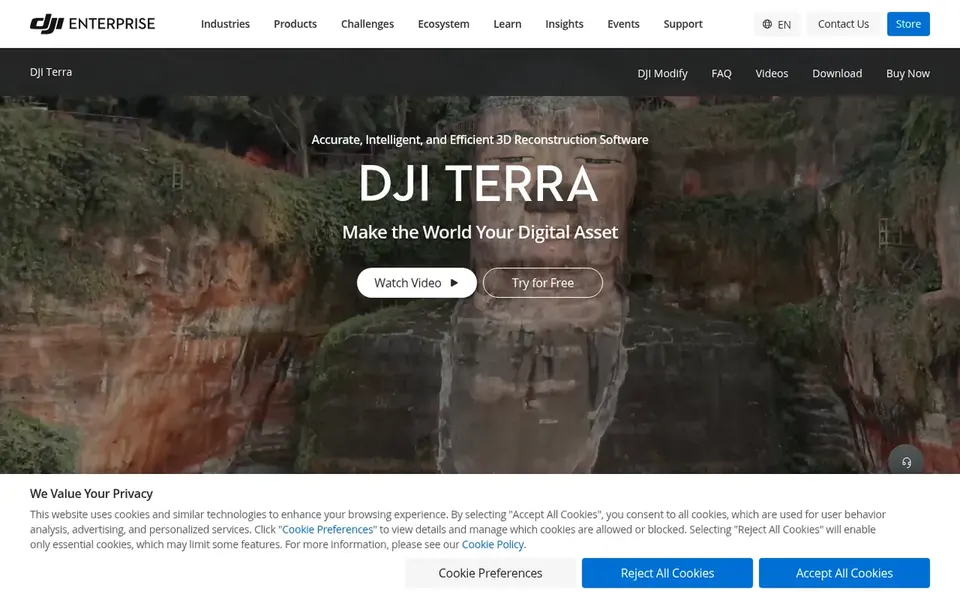
DJI Terra serves 2D and 3D reconstruction. It supports accurate and efficient 2D and 3D reconstruction from visible light imagery.
More specifically, pick something else if your priority is complicated flight planning or multi-aircraft oversight instead of turning imagery into models. No starting price is listed for DJI Terra here; confirm pricing on the vendor site. As for free access: Not stated.
Limits to weigh: Centred on reconstruction, not fleet operations.
Pick DJI FlightHub 2 if this describes you: cloud drone operations management. DJI FlightHub 2 is a one-stop cloud-based system for drone operations management.
Those working offline or without cloud infrastructure should weigh that dependency before committing to a cloud-first operations model. DJI FlightHub 2 does not show a starting price in this comparison, so check the vendor site for current pricing. Trial and free access: Not stated.
What to check first: Operations focus, not photogrammetry.
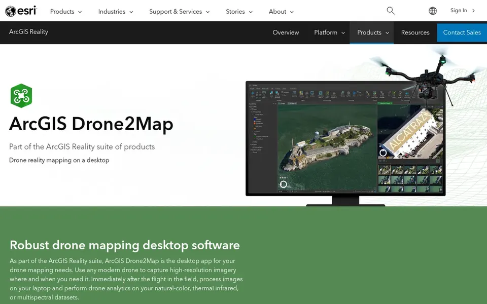
For GIS drone mapping workflows, Esri Drone2Map is a natural candidate. Since it is a desktop photogrammetry tool, it is less about flight planning and more about producing GIS-ready outputs.
Where it is weaker: Tied to Esri ecosystem.
This comparison lists no price for Esri Drone2Map; ask the vendor. As for free access: Not stated.
Confirm the entry price with every vendor: no tool from UGCS to Esri Drone2Map shows a fixed starting price.
Before choosing UGCS, weigh its main limit: planning focus, restricted analytics.
Look at the renewal terms for UGCS: auto-renewal, notice periods and price changes can matter more than the first-year price.
Ask whether Propeller Aero integrates with your current software, and whether that comes standard or as an add-on.
Check the support hours and onboarding help Esri Drone2Map offers; smaller vendors vary a lot here.
How we picked
Ainotely looked at what each vendor publishes: pricing, plan limits, feature coverage for drone flight planning software and stated drawbacks. No hands-on testing is claimed. Prices and plan limits come from vendor pages and can change, so confirm them on the vendor site before you buy. The order reflects how well each tool fits the most common buying scenario for drone flight planning software, then price clarity, then free plan access. It is a starting point, not a verdict.
Every price and plan detail on this page comes from the vendors’ own websites. We did not run hands-on tests unless the text says so, and we do not publish star ratings or review scores. See how we score and our disclosure.
Keep your shortlist in one place
Paste prices, trial dates and notes from this guide into Ainotely, our AI note app. It files them into a topic and pulls out tasks like “cancel trial by Friday”. Free 7-day trial, no card needed.
Is UGCS the right pick for everyone comparing drone flight planning software?
No single tool suits every team. UGCS comes first because it fits complex automated mission planning, while Propeller Aero suits Earthworks and construction analytics and DJI Terra suits 2D and 3D reconstruction. Match the tool to your own size, budget and workflow before deciding.
Which tool fits construction earthworks analysis?
Propeller Aero is oriented toward smart surveys for earthworks and construction data analytics. Teams needing route design should pair it with a dedicated planning tool.
Can I try these options before paying?
Not by default. None of the tools, from UGCS to Esri Drone2Map, lists a free plan or a free trial here, so ask each vendor for a demo before committing.
Do I need GIS experience to use drone mapping software?
Some tools, like Esri Drone2Map, are made for GIS workflows and fit users already familiar with spatial data. Others, like DJI Terra, center on reconstruction and may suit pilots without deep GIS backgrounds.
Can I manage a drone fleet with these tools?
DJI FlightHub 2 is the cloud-based operations system here, offering remote control, flight scheduling, and route management. Confirm integration choices on vendor pages.
Do these tools publish their prices?
No. None of the tools, from UGCS to Esri Drone2Map, shows a fixed starting price here, so budget time for quotes.