Our first pick is CARTO, best for cloud-native scalable spatial analysis. Listed starting prices: Mapbox from $0.08 per trip. Mapbox is the stronger choice for developer map APIs and navigation, while SafeGraph suits global points of interest data. Details, prices and limits for the rest of the 6 tools are below.
Short on time? The summary and table above give the quick view of 6 geo analytics platforms, and the profiles that follow give the detail behind each entry.
Key takeaways
Number one here is CARTO, a fit for cloud-native scalable spatial analysis.
Only Mapbox offers a free plan among these 6 tools.
Check the limits for Mapbox before you commit: developer-oriented, not a desktop GIS.
Esri ArcGIS fits advanced desktop mapping and spatial analysis.
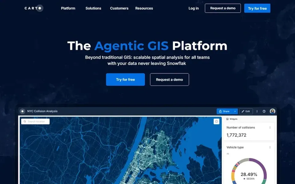
CARTO makes the most sense for cloud-native scalable spatial analysis. CARTO describes itself as an agentic GIS product made for scalable spatial analysis across teams, with spatial data remaining inside your own cloud ecosystem. Pick CARTO when cloud data governance and team-scale spatial analysis are priorities.
On top of that, users who require a standalone desktop GIS or offline mapping may find it a poor fit. Data, analytics and engineering teams can work from the same spatial foundation. CARTO shows no starting price here, so confirm the cost on the vendor site. As for free access: Free trial.
For developer map APIs and navigation, Mapbox is a natural candidate. Mapbox provides APIs and SDKs for AI-powered maps, location search, turn-by-turn navigation and geospatial data inside mobile or web applications.
It is a developer product, so business analysts looking for point-and-click spatial analysis may find it indirect. From a buyer's view, choose Mapbox when the goal is embedding maps, search or navigation into an app instead of conducting standalone geographic research. On cost, Mapbox starts like this: $0.08 per trip. Mapbox offers a free plan.
SafeGraph is aimed squarely at global points of interest data. SafeGraph is a location data system centered on global points of interest data that powers accurate mapping, analytics and site selection for firms.
More specifically, choose SafeGraph when curated location data is the missing piece in an existing analytics stack. From a buyer's view, the value lies in the data layer instead of an end-user mapping interface. Pricing for SafeGraph is not stated here, so ask the vendor for current figures. On free options: Not stated.
In short, Placer.ai is for foot traffic and site selection insight. Teams needing wide geographic analysis should pair it with a GIS product. The system is built around location insight instead of general mapping production.
Its specialization means it is not a replacement for a full GIS when you need cartography, data management or custom spatial modeling. For everyday use, Placer.ai supplies foot traffic data and location intelligence pitched at site selection, retail analytics and commercial real estate. No starting price is listed for Placer.ai here; confirm pricing on the vendor site. Placer.ai has no permanent free option.
Think of Esri Business Analyst for demographic mapping and site selection. ArcGIS Business Analyst is demographic mapping software for site selection, market planning, customer segmentation, territory design and infographics.
Watch-outs: Feature breadth takes time to learn.
The tool packages market data and mapping into workflows geared toward business planning. It sits within the Esri ecosystem, so teams already using ArcGIS get the most from it, whereas others face a ramp-up time and integration effort. Pricing for Esri Business Analyst is not stated here, so ask the vendor for current figures. Free plan details: Not stated.
Best for: Advanced desktop mapping and spatial analysis
Choose Esri ArcGIS for advanced desktop mapping and spatial analysis. Teams with established spatial datasets and a need for in-depth, project-based analysis will find the workflow familiar and thorough.
Points against: Heavier setup than web tools.
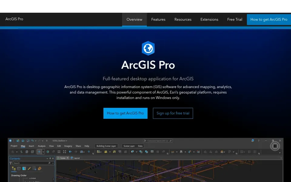
The desktop model means installation, licensing and a steeper ramp-up time than browser-based products. More specifically, ArcGIS Pro is Esri's desktop GIS application for managing spatial data, running advanced mapping and analytics, and building refined visualizations. Esri ArcGIS shows no starting price here, so confirm the cost on the vendor site. Free options: Not stated.
Confirm the entry price on the vendor page. For CARTO, SafeGraph, Placer.ai and others that means a quote rather than a fixed price.
Look at the free plan from Mapbox closely: its caps decide whether it is usable for real work.
Take the trial from CARTO and push a live task through it before you pay.
Read the limits listed for CARTO first: needs cloud data setup.
Compare total cost, not headline price: for CARTO, add extra seats, add-ons and any usage-based charges.
Involve the people who will use Esri ArcGIS daily; a short pilot beats a long feature checklist.
How we picked
The comparison looks at four things: starting price, free access, how well the feature set matches geo analytics platforms, and the main limit of each tool. Where a price is missing, the vendor does not list one publicly or ties it to a quote. Always confirm before budgeting. Position on the page reflects fit for a typical buyer first, with price clarity and free access breaking ties. Treat it as a guide, not a ruling.
Every price and plan detail on this page comes from the vendors’ own websites. We did not run hands-on tests unless the text says so, and we do not publish star ratings or review scores. See how we score and our disclosure.
Keep your shortlist in one place
Paste prices, trial dates and notes from this guide into Ainotely, our AI note app. It files them into a topic and pulls out tasks like “cancel trial by Friday”. Free 7-day trial, no card needed.
How are the tools for geo analytics platforms ordered?
CARTO sits first and Esri ArcGIS last because the order follows typical fit for geo analytics platforms, then price clarity and free access. It is a judgement call, so read each profile for fit and limits.
Do these tools publish their prices?
Not all of them. CARTO, SafeGraph, Placer.ai and others publish no starting price, so expect a quote request for those. The rest, Mapbox included, show a starting price, though seats and billing terms still change the final cost.
Do these systems keep data in my own cloud?
CARTO states that spatial data stays within your cloud ecosystem, which fits organizations with strict data governance. Review each vendor's data handling terms before committing.
Can I embed maps in my own application?
Mapbox is made for this, offering APIs and SDKs for maps, search, navigation and geospatial data in mobile or web apps. Teams wanting a data layer rather than a map interface may prefer SafeGraph for points of interest.
Can I try these options before paying?
Often, yes. Mapbox has a free plan and CARTO offers a free trial. Use your own data and a real task during the test, and check what the free tier or trial limits before you rely on it.
Which options for geo analytics platforms have a free plan?
Mapbox is the only tool in this list with a free plan. Free plans usually cap users, projects or features, so check the limits on the vendor page. One other tool offers a trial instead.