Best Photogrammetry Software in 2026: 7 Tools Compared

- 1
 RealityCaptureProfessional high-accuracy scansVisit
- 2
 Agisoft MetashapeProfessional mapping and modelsVisit
- 3
 MeshroomFree open-source scanningVisit
- 4
 RealityScanMobile 3D captureVisit
- 5
 PolycamEasy phone 3D scanningVisit
- Polycam is our pick for easy phone-based 3D capture and sharing.
- RealityCapture and Agisoft Metashape suit professional, high-accuracy projects.
- Meshroom suits free, open-source object scanning on desktop.
- RealityScan, 3DF Zephyr, and Pix4D suit mobile capture, balanced pricing, and drone mapping.
Quick comparison
| Product | Ideal for | Price from | Free version | |
|---|---|---|---|---|
| RealityCapture | Professional high-accuracy scans | See website | Free trial | Visit |
| Agisoft Metashape | Professional mapping and models | See website | Free trial | Visit |
| Meshroom | Free open-source scanning | Free | Yes | Visit |
| RealityScan | Mobile 3D capture | Free | Yes | Visit |
| Polycam | Easy phone 3D scanning | Free | Yes | Visit |
 3DF Zephyr | Balanced desktop photogrammetry | See website | Free trial | Visit |
 Pix4D | Drone mapping software | See website | Free trial | Visit |
The best photogrammetry software
Photogrammetry software turns overlapping photos into 3D models, maps, and measurements. It is used for drones, archaeology, games, construction, and product scans.
We compared official product pages, documentation, and pricing pages for each tool below. Our pick for most people is Polycam, because it turns phone photos into usable 3D models with little setup.
Hardware matters: drone and object scans need good photos with overlap, and processing needs a capable computer or cloud service. Software choice follows your capture method.
RealityCapture
Ideal for: Professional high-accuracy scans
RealityCapture is known for fast, high-accuracy photogrammetry, handling large photo sets and laser scans for professional projects in surveying, heritage, and media.
Pricing uses credits or subscriptions depending on use, and processing needs strong hardware or cloud credits. For professional accuracy and speed, it is a leading choice.
Our view: a top professional tool for demanding photogrammetry work.
Bottom line: RealityCapture is a strong fit for professional high-accuracy scans, and its main draw is very fast processing. Weigh that against the limits above before you commit, and test it with your own real work during any trial or free period.
- Very fast processing
- High-accuracy models
- Laser scan support
- Pricing is credit or subscription based
- Needs strong hardware
Agisoft Metashape
Ideal for: Professional mapping and models
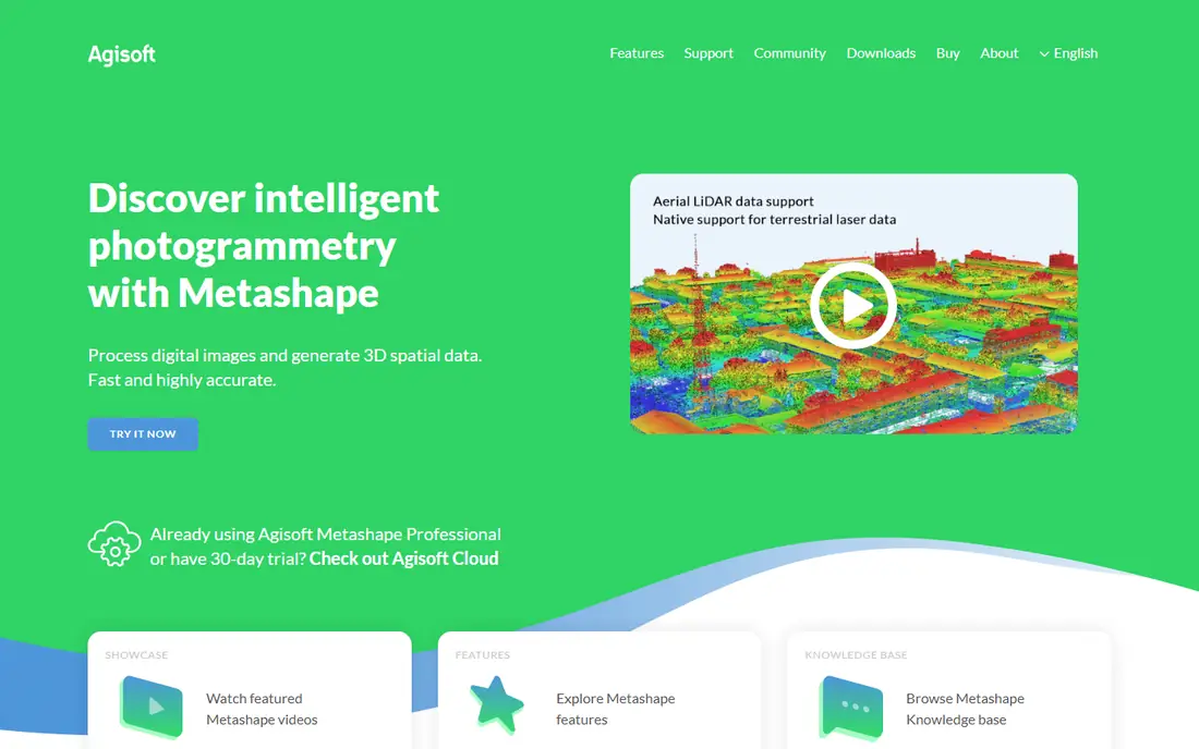
Agisoft Metashape is a professional photogrammetry tool for 3D models, orthomosaics, and survey maps from drone and ground photos. It suits surveying, archaeology, and construction.
Its interface is technical, and processing needs capable hardware, but its accuracy and survey tools are well regarded. Licensing includes perpetual and subscription options in many regions.
Our view: a strong professional choice for mapping and survey work.
Bottom line: Agisoft Metashape is a strong fit for professional mapping and models, and its main draw is accurate models and maps. Weigh that against the limits above before you commit, and test it with your own real work during any trial or free period.
- Accurate models and maps
- Drone and survey tools
- Flexible licensing
- Interface is technical
- Processing needs capable hardware
Meshroom
Ideal for: Free open-source scanning
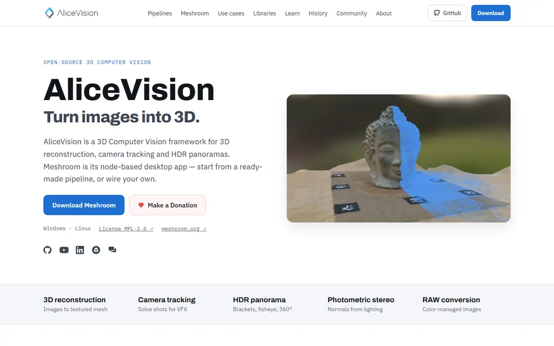
Meshroom is a free, open-source photogrammetry tool based on the AliceVision framework. It builds 3D models from photos through a node-based workflow that advanced users can customise.
It needs a capable GPU and its interface is technical, so beginners face a learning curve. For free, high-quality object models on desktop, it is unmatched.
Our view: the best free photogrammetry tool for desktop object scanning.
Bottom line: Meshroom is a strong fit for free open-source scanning, and its main draw is free and open-source. Weigh that against the limits above before you commit, and test it with your own real work during any trial or free period.
- Free and open-source
- Node-based workflow
- Good object models
- Needs a strong GPU
- Interface is technical for beginners
RealityScan
Ideal for: Mobile 3D capture
RealityScan, from Epic Games, lets you capture 3D models with a phone, processing in the cloud and exporting for games, web, or printing. It suits object scans and creative projects.
Phone capture suits objects and small scenes better than large surveys, and export options vary by plan. For easy mobile capture, though, it is a polished free start.
Our view: a polished mobile capture app for object 3D models.
Bottom line: RealityScan is a strong fit for mobile 3D capture, and its main draw is phone-based capture. Weigh that against the limits above before you commit, and test it with your own real work during any trial or free period.
- Phone-based capture
- Cloud processing
- Easy sharing and export
- Mobile capture suits objects, not large surveys
- Export limits vary
Polycam
Ideal for: Easy phone 3D scanning
Polycam turns phone photos and LiDAR scans into 3D models with cloud processing, easy sharing, and exports for web, games, and printing. Its simplicity is its main strength.
The free tier limits exports and resolution, with paid plans for fuller use. Large scenes still need a capable phone and good lighting for best results.
Our view: our pick for easy, everyday 3D capture on a phone.
Bottom line: Polycam is a strong fit for easy phone 3D scanning, and its main draw is phone LiDAR and photo capture. Weigh that against the limits above before you commit, and test it with your own real work during any trial or free period.
- Phone LiDAR and photo capture
- Cloud processing
- Easy sharing
- Free tier limits exports
- Large scenes need a capable phone
3DF Zephyr
Ideal for: Balanced desktop photogrammetry
3DF Zephyr offers desktop photogrammetry for objects, drones, and surveys, with a free version for small projects and paid tiers for larger work. Its accuracy is solid for its price.
The free version limits photo count, so larger projects need a paid tier. Its interface is technical, but tutorials help new users get started.
Our view: a balanced desktop choice with a useful free tier.
Bottom line: 3DF Zephyr is a strong fit for balanced desktop photogrammetry, and its main draw is good accuracy. Weigh that against the limits above before you commit, and test it with your own real work during any trial or free period.
- Good accuracy
- Free version for small projects
- Drone and object support
- Free version limits photo count
- Interface is technical
Pix4D
Ideal for: Drone mapping software
Pix4D offers drone mapping software for surveys, construction, and agriculture, turning drone photos into maps, models, and measurements with cloud and desktop options.
Pricing is professional level, and survey workflows need learning time. For drone mapping as a business, its accuracy and reporting tools justify the cost.
Our view: a leading drone mapping suite for professional survey work.
Bottom line: Pix4D is a strong fit for drone mapping software, and its main draw is drone mapping and surveying. Weigh that against the limits above before you commit, and test it with your own real work during any trial or free period.
- Drone mapping and surveying
- Accurate maps and models
- Cloud and desktop options
- Professional pricing
- Learning curve for survey workflows
How we picked these
We compared official product pages, documentation, and pricing pages, and we looked at accuracy, capture methods, processing needs, exports, and pricing. We favoured tools with a clear fit for a stated capture type.
We did not claim hands-on scanning. Where pricing depended on credits or tiers, we wrote See website or noted the model rather than guessing.
How to choose photogrammetry software
Start with what you capture. Phone object scans suit Polycam or RealityScan, desktop object work suits Meshroom or 3DF Zephyr, and drone surveys suit Pix4D or Metashape.
Check processing needs honestly. Desktop tools need a strong GPU, while cloud tools need good uploads and may charge credits. Match processing to your computer and budget.
Test with your own photos before paying. Capture a test object or site with good overlap and lighting, process it in two tools, and compare model quality and cleanup effort.
Also keep your original photos organised by project and date. Reprocessing an old project with new software often improves results, but only if the original photos are still available and clearly labelled.
Confirm exports for your end use. Games, web, printing, and surveying need different formats and scales, so check that your tool exports what your next step requires.
Learn capture technique, since software cannot fix poor photos. Overlap shots by a large margin, keep lighting even, and avoid moving subjects for clean models.
Finally, budget for cleanup time. Raw photogrammetry models usually need cleaning, retopology, or scaling before use, so allow time for that step in any project plan.
Also calibrate your camera when accuracy matters. Survey work benefits from known scale bars or ground control points, which turn a visual model into a measurable one. Record those control points carefully, since a missing reference can make an otherwise good model hard to use for measurement. That habit saves hours of rework later.
If you are still unsure, start with a free plan and move to a paid plan only when you hit its limits.
Frequently asked questions
What is photogrammetry software?
It is software that builds 3D models, maps, and measurements from overlapping photos, using matching points across images to reconstruct shape and scale.
Can I do photogrammetry with a phone?
Yes. Polycam and RealityScan turn phone photos and LiDAR scans into 3D models, with cloud processing and exports for web, games, and printing.
Is there free photogrammetry software?
Yes. Meshroom is free and open-source for desktop, while Polycam and RealityScan offer free tiers for mobile capture. 3DF Zephyr also offers a free version for small projects.
Do I need a drone for photogrammetry?
No, for object models. Drones suit large sites and maps, while phones and cameras suit objects, rooms, and small scenes.
How accurate is photogrammetry?
Accuracy depends on photo quality, overlap, camera calibration, and ground control for surveys. Professional tools with good capture can achieve survey-grade results, while phone scans suit visual models.
How many photos do I need for a 3D model?
It depends on the object size and detail, but dozens of overlapping photos are typical for a small object, while large sites need hundreds. Overlap and even lighting matter more than raw count.