Best Free Route Planner Apps in 2026: 7 Apps Compared

- Google Maps is our pick for everyday driving, with traffic, stops, and offline maps.
- Waze suits drivers who want live hazard and speed alerts from other drivers.
- RouteXL and Circuit suit delivery drivers with many stops to order efficiently.
- MapQuest, Apple Maps, and Komoot suit simple planning, Apple users, and outdoor trips.
Quick comparison
| Product | Ideal for | Price from | Free version | |
|---|---|---|---|---|
 Google Maps | Everyday driving and stops | Free | Yes | Visit |
 Waze | Live driver alerts | Free | Yes | Visit |
 MapQuest | Simple multi-stop planning | Free | Yes | Visit |
 RouteXL | Optimising many stops | Free | Yes | Visit |
 Circuit | Delivery route planning | Free | Yes | Visit |
 Apple Maps | Apple device navigation | Free | Yes | Visit |
 Komoot | Cycling and hiking routes | Free | Yes | Visit |
The best free route planner apps
Route planners do more than show a map: the best ones order multiple stops, avoid traffic, and work offline when signal fades. The right app depends on whether you drive, deliver, cycle, or hike.
We compared official app pages, help pages, and app store listings for each app below. Our pick for most people is Google Maps, because its traffic data, stop ordering, and offline maps cover everyday driving well.
Free tiers differ: some apps limit stops or routes on free plans, while others are fully free. We note those limits for each app.
Google Maps
Ideal for: Everyday driving and stops

Google Maps offers live traffic, route options, multi-stop planning, and offline maps, with place data for almost any destination. For everyday driving and errands, it is the most complete free tool.
Its multi-stop ordering is basic compared with Circuit or RouteXL, since it does not fully optimise dozens of stops. Privacy settings for location history deserve a review too.
Our view: the best free route planner for most drivers.
Bottom line: Google Maps is a strong fit for everyday driving and stops, and its main draw is live traffic. Weigh that against the limits above before you commit, and test it with your own real work during any trial or free period.
- Live traffic
- Multi-stop routes
- Offline maps
- Huge place data
- Multi-stop ordering is basic compared with delivery tools
- Privacy settings need review
Waze
Ideal for: Live driver alerts
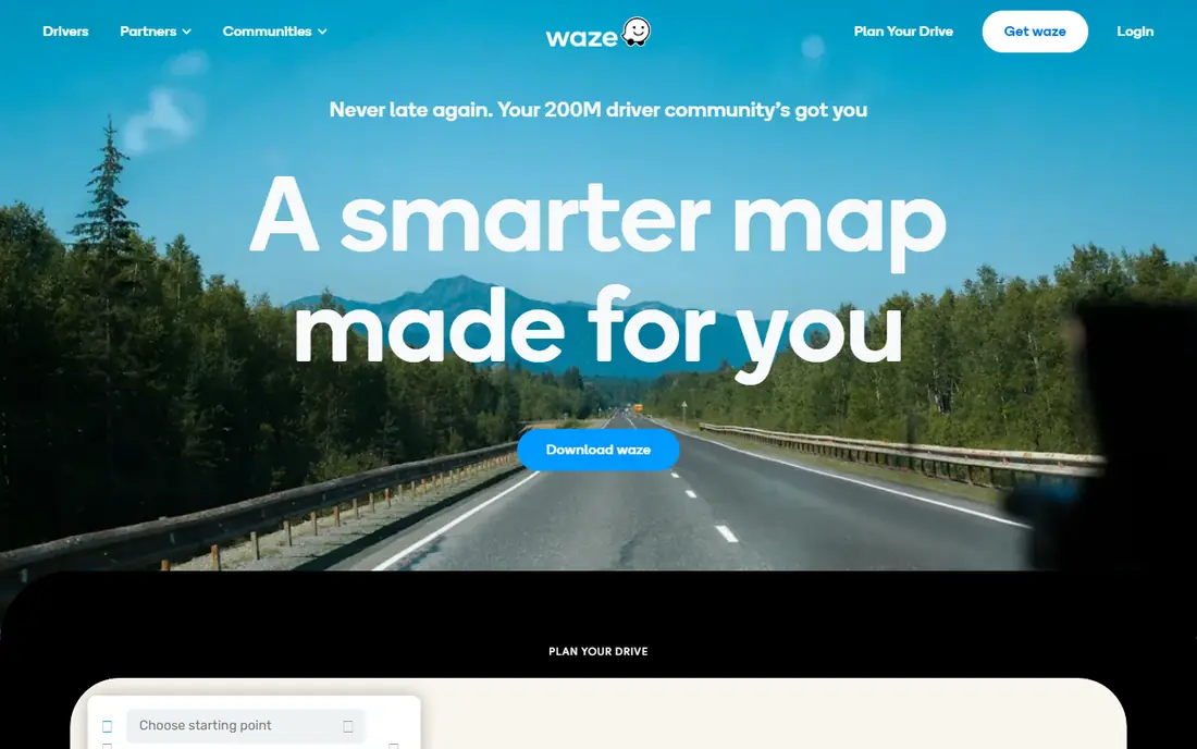
Waze uses driver reports to warn about hazards, traffic, police, and road closures in real time, with rerouting around problems. Its community alerts are its main strength.
It focuses on driving only, so walking, cycling, and delivery optimisation need other apps. Battery use can be high on long drives, so keep a charger handy.
Our view: the best free companion for live driving alerts.
Bottom line: Waze is a strong fit for live driver alerts, and its main draw is real-time hazard, police, and traffic alerts. Weigh that against the limits above before you commit, and test it with your own real work during any trial or free period.
- Real-time hazard, police, and traffic alerts
- Community reports
- Free
- Route options are driving only
- Battery use can be high
MapQuest
Ideal for: Simple multi-stop planning
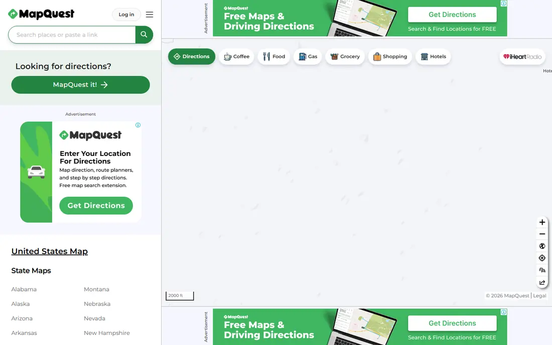
MapQuest offers straightforward multi-stop route planning on web and mobile, with directions and distance estimates. It suits simple trip planning without extra features.
Its traffic and place data are thinner than Google Maps, and its app feels less polished. For simple routes, though, it is a reliable free tool.
Our view: a simple free option for basic multi-stop routes.
Bottom line: MapQuest is a strong fit for simple multi-stop planning, and its main draw is multi-stop route planning. Weigh that against the limits above before you commit, and test it with your own real work during any trial or free period.
- Multi-stop route planning
- Simple web and app use
- Free
- Traffic and place data are thinner than Google Maps
- App is less polished
RouteXL
Ideal for: Optimising many stops
RouteXL optimises the order of multiple stops to save time and distance, which matters for deliveries and sales visits. You enter addresses, and it returns an efficient route order.
The free tier limits the number of addresses per route, with paid plans for more. Its interface is functional rather than pretty, but the optimisation is the point.
Our view: the best free tool for ordering many stops efficiently.
Bottom line: RouteXL is a strong fit for optimising many stops, and its main draw is optimises stop order for up to many addresses. Weigh that against the limits above before you commit, and test it with your own real work during any trial or free period.
- Optimises stop order for up to many addresses
- Free tier
- Web based
- Free tier limits addresses per route
- Interface is functional
Circuit
Ideal for: Delivery route planning
Circuit is built for delivery drivers and teams, optimising routes, guiding drivers stop by stop, and capturing proof of delivery. It suits couriers and field teams with regular routes.
The free tier limits stops and drivers, so larger teams need paid plans. For small delivery operations, though, it is a practical, focused tool.
Our view: a strong delivery-focused route planner for drivers and small teams.
Bottom line: Circuit is a strong fit for delivery route planning, and its main draw is delivery-focused route optimisation. Weigh that against the limits above before you commit, and test it with your own real work during any trial or free period.
- Delivery-focused route optimisation
- Driver app
- Proof of delivery
- Free tier limits stops and drivers
- Full features need a paid plan
Apple Maps
Ideal for: Apple device navigation
Apple Maps is built into iPhones, iPads, and Macs, offering clean navigation, traffic, and multi-stop routes with a privacy-focused approach. It works well with Siri and CarPlay.
Its multi-stop and delivery optimisation features are basic compared with Circuit or RouteXL, and its best experience is inside the Apple system. For Apple users, it is a natural default.
Our view: the natural free route planner for Apple users.
Bottom line: Apple Maps is a strong fit for apple device navigation, and its main draw is built into Apple devices. Weigh that against the limits above before you commit, and test it with your own real work during any trial or free period.
- Built into Apple devices
- Clean navigation
- Privacy focused
- Multi-stop and delivery features are basic
- Best inside Apple system
Komoot
Ideal for: Cycling and hiking routes
Komoot plans cycling, hiking, and running routes with turn-by-turn voice guidance and offline maps. Its outdoor trail data and community routes suit active trips far better than driving apps.
Driving routes are not its focus, and full offline region maps may need payment, though a first region is often free. For outdoor adventures, it is the standout free choice.
Our view: the best free route planner for cycling and hiking.
Bottom line: Komoot is a strong fit for cycling and hiking routes, and its main draw is outdoor route planning. Weigh that against the limits above before you commit, and test it with your own real work during any trial or free period.
- Outdoor route planning
- Turn-by-turn voice
- Offline maps
- Driving routes are not its focus
- Full region maps need payment
How we picked these
We compared official app pages, help pages, and app store listings, and we looked at stop optimisation, traffic data, offline maps, and free tier limits. We favoured apps that plan real routes, not just show a map.
We did not claim hands-on driving. Where free tiers limited stops or regions, we noted the limit rather than presenting the app as unlimited.
How to choose a free route planner
Start with your trip type. Driving suits Google Maps or Waze, deliveries suit Circuit or RouteXL, and outdoor trips suit Komoot. A driving app will not plan a hiking trail well, and vice versa.
Count your stops honestly. A handful of stops works in Google Maps or Apple Maps, while dozens of stops need RouteXL or Circuit optimisation. Optimisation saves real time on long routes.
Also check delivery windows and opening hours before finalising a route. An optimised order that arrives at a closed shop wastes the time saved, so confirm time windows for every stop on a delivery or sales route.
Check offline maps before you need them. Download maps for your area in advance, especially for rural trips, since signal fades in valleys, forests, and remote roads.
Test traffic and rerouting on a real drive. Live traffic quality varies by area, so compare Google Maps and Waze on your usual commute before trusting one for an important trip.
Consider battery and data use. Navigation apps drain batteries, so carry a car charger and check data settings if you travel with a limited plan.
Finally, keep a backup plan. Save key addresses offline, note alternative routes, and keep a paper note of critical stops for delivery work. Technology fails at awkward moments.
Frequently asked questions
What is the best free route planner app?
Google Maps is our pick for everyday driving, while Waze suits live alerts, Circuit and RouteXL suit deliveries, and Komoot suits outdoor trips.
Can free route planners optimise many stops?
Yes, within limits. RouteXL and Circuit optimise stop order, with free tiers limiting stop counts. Google Maps handles a handful of stops well.
Do route planners work offline?
Google Maps, Apple Maps, and Komoot offer offline maps for downloaded areas, though live traffic needs a connection. Download maps before rural trips.
Is Waze better than Google Maps?
Waze is better for live hazard and traffic alerts from drivers, while Google Maps is better for place data, multi-stop planning, and offline maps. Many drivers use both.
Can I plan a delivery route free?
Yes. Circuit and RouteXL offer free tiers for delivery routes, with limits on stops or drivers. Larger teams will need paid plans.
Can route planners avoid toll roads?
Yes. Google Maps, Waze, and Apple Maps all offer avoid-tolls options in route settings, which helps drivers who prefer free roads or want to compare toll costs.