Best Software for Drone Mapping in 2026: 7 Options Compared

- 1
 Pix4DmapperProfessionals making survey grade mapsVisit
- 2
 DroneDeployConstruction and agriculture teams mapping sitesVisit
- 3
 DJI TerraDJI drone owners mapping with official softwareVisit
- 4
 Agisoft MetashapeProfessionals who want detailed 3D modelsVisit
- 5
 OpenDroneMapUsers who want open source mappingVisit
- Our top pick for most readers is Pix4Dmapper, because it fits professionals making survey grade maps and covers the core features well.
- Free options exist on this list, including OpenDroneMap, though free plans limit features in most cases.
- Prices vary widely, and several vendors do not publish a simple starting price, so check the official pricing page for the current figure before you decide.
- The honest catch matters as much as the headline feature, so read the cons for each product and match them against the work you do most often.
Quick comparison
| Product | Ideal for | Price from | Free version | |
|---|---|---|---|---|
| Pix4Dmapper | Professionals making survey grade maps | See website | Free trial | Visit |
| DroneDeploy | Construction and agriculture teams mapping sites | See website | Free trial | Visit |
| DJI Terra | DJI drone owners mapping with official software | See website | Free trial | Visit |
| Agisoft Metashape | Professionals who want detailed 3D models | See website | Free trial | Visit |
| OpenDroneMap | Users who want open source mapping | Free | Yes | Visit |
 Maps Made Easy | Users who want simple pay per map processing | See website | Free trial | Visit |
 Propeller | Construction teams tracking earthworks | See website | Free trial | Visit |
The best software for drone mapping
We compared 7 options for best software for drone mapping, looking at official feature pages, pricing, app store listings, privacy policies, and public reviews, and we did not claim hands on testing we did not do.
Pix4Dmapper
Ideal for: Professionals making survey grade maps
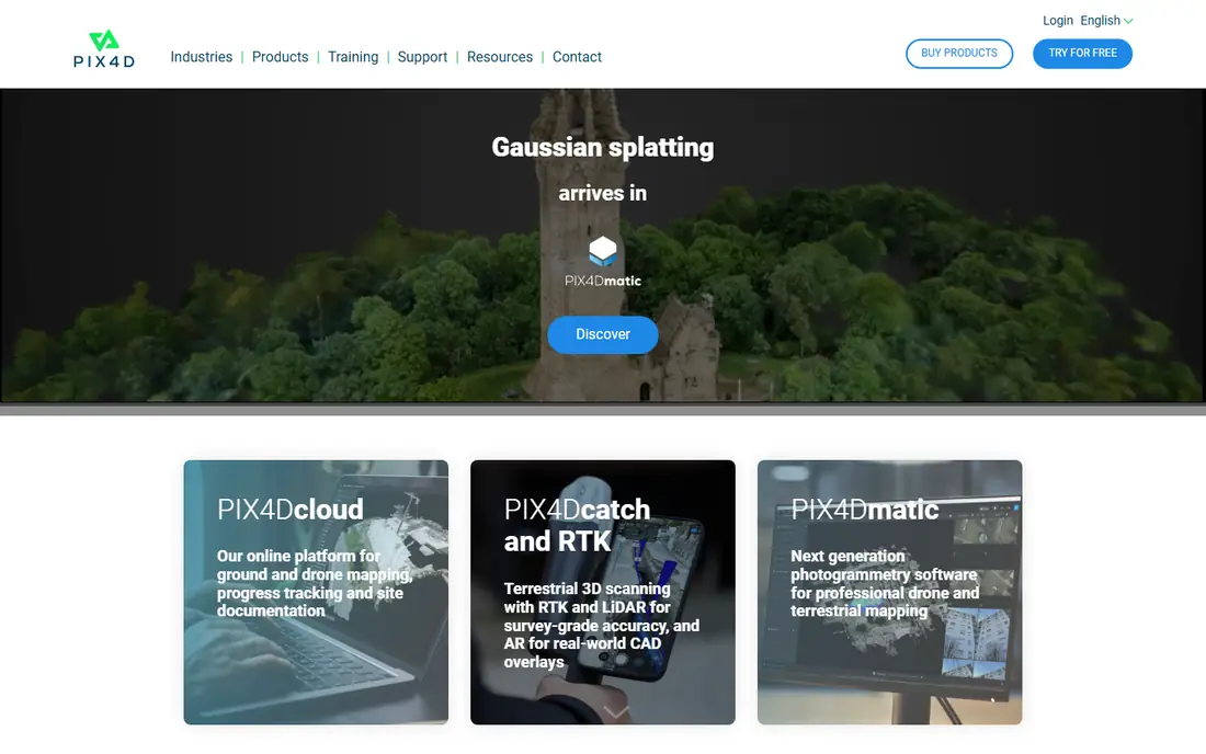
Pix4Dmapper turns drone photos into maps and 3D models with outputs surveyors can use in their work. It is best for professionals making survey grade maps. We put Pix4Dmapper near the top because it fits its audience well.
On pricing, we list the starting price as See website, and the free plan field as Free trial. Where a price is shown as See website, that means the vendor does not publish a simple starting price, or the price depends on seats, usage, or a quote, so check the official pricing page for the current figure.
The honest catch is pricing is not published; learning curve is steep. Before you commit, try the free plan or trial if one is offered, and check that the features you need are on the plan you pick. Our view is that Pix4Dmapper is worth a close look if its best fit matches your situation, and worth skipping if the catch touches the part of the work you do most often.
- Photogrammetry mapping
- Survey outputs
- Desktop processing
- Pricing is not published
- Learning curve is steep
DroneDeploy
Ideal for: Construction and agriculture teams mapping sites
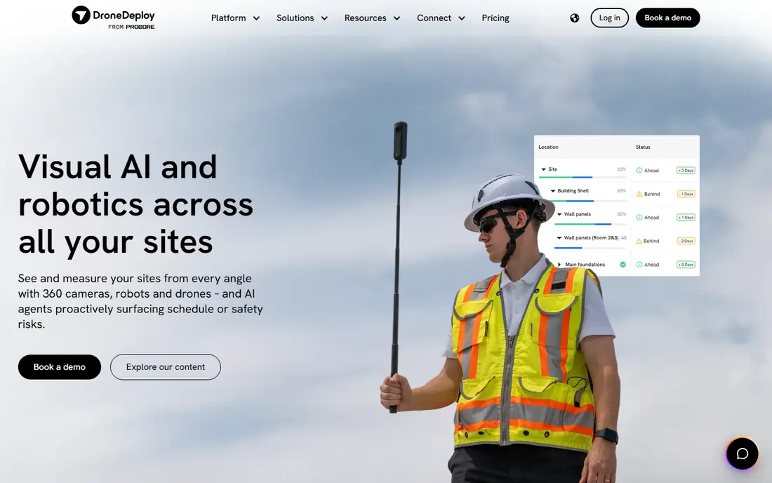
DroneDeploy maps sites in the cloud, so construction teams can compare progress over time without desktop software. It is best for construction and agriculture teams mapping sites. For many readers, DroneDeploy is the practical choice in this list.
On pricing, we list the starting price as See website, and the free plan field as Free trial. Where a price is shown as See website, that means the vendor does not publish a simple starting price, or the price depends on seats, usage, or a quote, so check the official pricing page for the current figure.
The honest catch is pricing is not published; advanced analysis costs more. A short trial run with your own data or workflow will tell you more than any feature list, so test the fit before paying. Our view is that DroneDeploy is worth a close look if its best fit matches your situation, and worth skipping if the catch touches the part of the work you do most often.
- Cloud mapping
- Progress tracking
- Easy flight planning
- Pricing is not published
- Advanced analysis costs more
DJI Terra
Ideal for: DJI drone owners mapping with official software
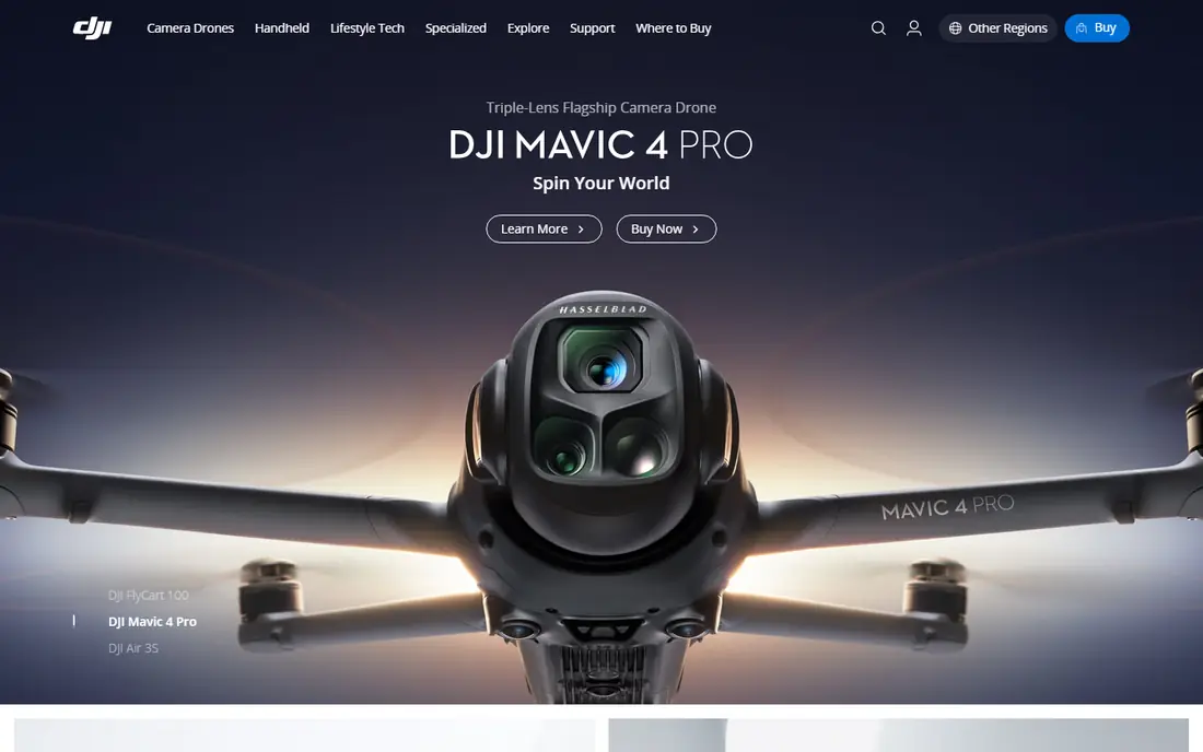
DJI Terra is the official mapping software for DJI drones, which makes flight and processing work smoothly together. It is best for dJI drone owners mapping with official software. What stands out about DJI Terra is how clearly it states its purpose.
On pricing, we list the starting price as See website, and the free plan field as Free trial. Where a price is shown as See website, that means the vendor does not publish a simple starting price, or the price depends on seats, usage, or a quote, so check the official pricing page for the current figure.
The honest catch is dJI focused; licensing tiers matter. Check the pricing page and the plan limits carefully, since the details that matter most are often in the plan notes. Our view is that DJI Terra is worth a close look if its best fit matches your situation, and worth skipping if the catch touches the part of the work you do most often.
- Built for DJI drones
- 2D and 3D mapping
- Efficient processing
- DJI focused
- Licensing tiers matter
Agisoft Metashape
Ideal for: Professionals who want detailed 3D models
Agisoft Metashape builds detailed 3D models from drone photos, with survey tools professionals rely on. It is best for professionals who want detailed 3D models. We kept Agisoft Metashape on the list because it solves a specific problem well.
On pricing, we list the starting price as See website, and the free plan field as Free trial. Where a price is shown as See website, that means the vendor does not publish a simple starting price, or the price depends on seats, usage, or a quote, so check the official pricing page for the current figure.
The honest catch is learning curve is steep; processing needs strong hardware. If you are unsure, start small and upgrade only when you hit a real limit in daily use. Our view is that Agisoft Metashape is worth a close look if its best fit matches your situation, and worth skipping if the catch touches the part of the work you do most often.
- Detailed photogrammetry
- Survey tools
- One time license options
- Learning curve is steep
- Processing needs strong hardware
OpenDroneMap
Ideal for: Users who want open source mapping
OpenDroneMap is a free open source option for turning drone photos into maps, which suits users comfortable with technical setup. It is best for users who want open source mapping. Among the options here, OpenDroneMap earns its place for steady, focused tools.
On pricing, we list the starting price as Free, and the free plan field as Yes. Where a price is shown as See website, that means the vendor does not publish a simple starting price, or the price depends on seats, usage, or a quote, so check the official pricing page for the current figure.
The honest catch is setup is technical; support is community based. Ask support a direct question before you buy, since the answer often reveals how the service treats customers after signup. Our view is that OpenDroneMap is worth a close look if its best fit matches your situation, and worth skipping if the catch touches the part of the work you do most often.
- Free and open source
- Maps and 3D models
- Community support
- Setup is technical
- Support is community based
Maps Made Easy
Ideal for: Users who want simple pay per map processing
Maps Made Easy charges per map, which suits occasional users who do not want a monthly subscription. It is best for users who want simple pay per map processing. Readers who want a focused option should look closely at Maps Made Easy.
On pricing, we list the starting price as See website, and the free plan field as Free trial. Where a price is shown as See website, that means the vendor does not publish a simple starting price, or the price depends on seats, usage, or a quote, so check the official pricing page for the current figure.
The honest catch is feature depth is moderate; processing limits apply. Compare the total cost over a year, not just the monthly figure, since add ons and seat counts change the picture. Our view is that Maps Made Easy is worth a close look if its best fit matches your situation, and worth skipping if the catch touches the part of the work you do most often.
- Pay per map pricing
- Easy uploads
- 3D models
- Feature depth is moderate
- Processing limits apply
Propeller
Ideal for: Construction teams tracking earthworks
Propeller focuses on construction sites, with survey grade maps and earthworks tracking managers use weekly. It is best for construction teams tracking earthworks. We like Propeller for readers who know what they need and want to get started.
On pricing, we list the starting price as See website, and the free plan field as Free trial. Where a price is shown as See website, that means the vendor does not publish a simple starting price, or the price depends on seats, usage, or a quote, so check the official pricing page for the current figure.
The honest catch is enterprise pricing; onboarding takes time. Make sure the tool works with the systems you already use, since a good product that does not connect can slow you down. Our view is that Propeller is worth a close look if its best fit matches your situation, and worth skipping if the catch touches the part of the work you do most often.
- Survey grade outputs
- Earthworks tracking
- Site analytics
- Enterprise pricing
- Onboarding takes time
How we picked these
We started from the topic itself and looked for products that exist and work in October 2026 and truly fit it, rather than padding the list with near misses. For each product we checked its official homepage, its feature pages, its pricing page or app store listing, and its privacy policy where one mattered, and we used public reviews to spot common complaints. Where we could not verify a price from the vendor, we wrote See website instead of guessing, and where a homepage could not be confirmed we dropped or replaced that product. We favored a mix of well known leaders and strong smaller options, and we weighed who each product is really for, one concrete strength, and one honest weakness. That mix matters, because the best product for a large team is rarely the best product for a solo user, and a low price means little if the plan limits block the work you do daily.
How to choose the right option
What to check before you pay
Start with the job you need done, not the feature list. Write down the three tasks you will do every week, then check that each one is covered on the plan you would actually buy, not just on the top plan. Ask about setup time, data import, and how you leave if the fit is wrong, since exit costs matter as much as entry price. Read the pricing page for seat counts, usage limits, and support hours, and treat any figure that is not on the official page as unconfirmed.
How to run a fair trial
Give each finalist the same real task and the same week, and judge by the result, not by the demo. Invite the people who will use the tool daily, since a system chosen by one manager and disliked by the team rarely lasts. Keep notes on what slowed you down, what needed support, and what felt obvious, then compare those notes before you sign anything.
Mistakes worth avoiding
The most common mistake is paying for a large plan before the team has used the basic one. Another is choosing on price alone, then finding that support, limits, or missing connections cost more time than the saving was worth. A third is skipping the contract terms, especially renewal, data export, and what happens to your data if you cancel. Avoid all three by trialing first, reading the plan notes, and asking direct questions in writing.
Frequently asked questions
What is the best software for drone mapping for most people?
For most readers we point to Pix4Dmapper, since it fits professionals making survey grade maps and covers the core features without a steep learning curve. That said, the right pick depends on your budget, your team size, and the features you will use weekly, so compare the top two or three on this list before you decide. If you also search for best drone mapping software, the same shortlist applies, since it covers that need too.
Are there free software for drone mapping options?
Yes, in most cases, though free plans limit features. On this list, OpenDroneMap offer free access in some form. Read the free plan limits before you rely on them, since storage, seats, or exports are often capped.
How much does software for drone mapping cost?
It varies by product and plan, and several vendors on this list do not publish a simple starting price. We list See website where the price depends on seats, usage, or a quote, and we recommend checking the official pricing page for the current figure. Add up the yearly cost, including any add ons, before you compare monthly figures.
What should I check before choosing a software for drone mapping option?
Check the plan limits, the support hours, the privacy policy, and whether the product works with the tools you already use. Run a short trial with a real task, and judge by the result rather than the demo. If the product will hold your data, check export options early, so you are not trapped if you switch later.
Can I switch later if I pick the wrong software for drone mapping option?
In most cases yes, but switching costs time and sometimes data. Check export tools, contract terms, and cancellation rules before you commit, and keep a copy of your data outside the product. Starting with a trial or a monthly plan, rather than a long contract, keeps switching cheap if the fit is wrong.