Best Maptive Alternatives in 2026: 8 Mapping Tools Compared

- 1
 Google My MapsFree, simple custom mapsVisit
- 2
 ArcGIS OnlineProfessional GIS mappingVisit
- 3
 MapboxDeveloper mapping platformsVisit
- 4
 BatchGeoQuick maps from spreadsheetsVisit
- 5
 eSpatialSales territory mapping and analysisVisit
- Google My Maps is the fastest free route to a simple custom map.
- ArcGIS Online and Mapbox lead for professional and developer mapping.
- BatchGeo, ZeeMaps, and Mapline suit quick plotting of spreadsheet locations.
- eSpatial fits sales territory mapping and analysis.
- QGIS is the free, full-featured desktop GIS for serious mapping work.
Quick comparison
| Product | Ideal for | Price from | Free version | |
|---|---|---|---|---|
| Google My Maps | Free, simple custom maps | Free | Yes | Visit |
| ArcGIS Online | Professional GIS mapping | See website | Free trial | Visit |
| Mapbox | Developer mapping platforms | See website | Free trial | Visit |
| BatchGeo | Quick maps from spreadsheets | See website | Free trial | Visit |
| eSpatial | Sales territory mapping and analysis | See website | Free trial | Visit |
 ZeeMaps | Simple shareable maps | See website | Free trial | Visit |
 Mapline | Business location mapping | See website | Free trial | Visit |
 QGIS | Free desktop GIS for serious work | Free | Yes | Visit |
The best Maptive alternatives
Maptive turns spreadsheet locations into custom maps, which suits sales teams, delivery planners, and anyone who needs to see data on a map. Alternatives range from free consumer tools to professional GIS platforms. The right pick depends on how many locations you plot, whether you need territory analysis, and whether you build maps for the web.
Google My Maps
Ideal for: Free, simple custom maps
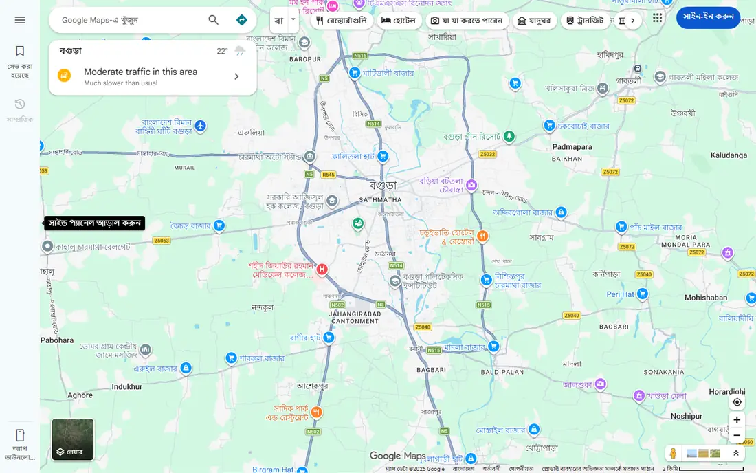
Google My Maps is the quickest way to make a custom map. Drop pins, draw lines and shapes, import a spreadsheet of locations, and share a link, all on the Google Maps base everyone already knows. Collaboration is simple, and the result works on any device.
It stops short of real analysis. There are no territory tools, routing optimization, or advanced styling, and large data sets slow it down. For a simple map of stores, events, or trip stops, Google My Maps is free, fast, and our pick for most casual users.
- Free with a Google account
- Familiar Google Maps base
- Easy sharing and collaboration
- Limited styling and analysis
- Not built for large data sets or territories
ArcGIS Online
Ideal for: Professional GIS mapping
ArcGIS Online, from Esri, is the professional standard for mapping and spatial analysis. It handles large data sets, offers deep analysis tools, and lets organizations share maps, apps, and dashboards with controlled access. Basemaps and ready-to-use data layers cover most common needs.
Casual users will find it complex and pricey compared with simple plotting tools. For governments, utilities, and companies that treat location data as a core asset, ArcGIS Online is the most capable platform here.
- Full GIS analysis and mapping
- Huge data and basemap library
- Strong organizational sharing
- Pricing and complexity for casual users
- Learning curve for advanced analysis
Mapbox
Ideal for: Developer mapping platforms

Mapbox is the developer's mapping platform. Custom-styled base maps, geocoding, directions, and map SDKs let teams build mapping into websites and apps with a polished result. The studio tool lets designers style maps without code, while developers get full API control.
It is not a spreadsheet-to-map tool for non-developers. Usage-based pricing means high-traffic maps cost more, so budget by expected map loads. For product teams building mapping into an app or site, Mapbox is the leading choice.
- Beautiful, customizable base maps
- Strong APIs and SDKs
- Good for web and mobile apps
- Developer skills needed
- Usage-based pricing can grow with traffic
BatchGeo
Ideal for: Quick maps from spreadsheets
BatchGeo does one job well: paste addresses or coordinates from a spreadsheet and get a shareable map. Clustering keeps dense maps readable, filters let viewers narrow by category, and the result embeds on a website. That simplicity is the appeal for journalists, event planners, and small businesses.
Styling and analysis are basic, and there are no territory or routing tools. For a fast, one-off map from a list of locations, BatchGeo is one of the simplest tools available.
- Paste a spreadsheet and get a map in minutes
- Clustering and filters
- Simple sharing
- Styling options are limited
- Advanced analysis is minimal
eSpatial
Ideal for: Sales territory mapping and analysis
eSpatial is built for sales and service teams that manage territories. It plots customer locations, draws and balances territories, and runs radius and heat map analysis to show coverage gaps. That focus makes it more useful than a general plotting tool for territory planning.
Pricing is aimed at businesses, and casual users will find it more than they need. For sales operations teams that redesign territories regularly, eSpatial is the purpose-built pick.
- Territory design and balancing
- Heat maps and radius analysis
- Built for sales teams
- Business pricing
- Less suited to casual one-off maps
ZeeMaps
Ideal for: Simple shareable maps
ZeeMaps is a straightforward tool for making shareable maps from lists of locations. Markers can be grouped, colored, and given custom icons, and maps embed on websites or share by link. It suits clubs, schools, and small businesses that need a public map without GIS complexity.
The interface shows its age, and analysis features are thin. For a simple, public-facing map built from a list, ZeeMaps is quick and affordable.
- Easy map creation from lists
- Markers, groups, and custom icons
- Embeddable maps
- Interface feels dated
- Fewer analysis features than eSpatial or ArcGIS
Mapline
Ideal for: Business location mapping
Mapline sits between simple plotting tools and full GIS. It maps spreadsheet data, draws territories, optimizes routes, and analyzes coverage, which suits sales, delivery, and service teams that need more than pins on a map. An Excel add-in keeps data and maps in sync for spreadsheet-heavy teams.
Pricing reflects the business focus, and the interface takes a short while to learn. For teams that plan routes and territories from spreadsheet data, Mapline is a capable, Maptive-like replacement.
- Spreadsheet mapping with territories and routing
- Good for sales and delivery planning
- Excel add-in available
- Pricing is business-grade
- Interface takes a little learning
QGIS
Ideal for: Free desktop GIS for serious work
QGIS is the free, open-source GIS desktop application used by professionals worldwide. It handles mapping, analysis, and cartography at a level comparable to commercial GIS software, with plugins extending it into nearly every spatial task. There is no license cost at all.
The learning curve is real, and sharing maps online needs extra steps or a hosting service. For analysts, researchers, and anyone doing serious mapping work on a budget, QGIS is the most powerful free option here.
- Full GIS desktop application, free and open source
- Huge plugin library
- Handles large and complex data
- Steep learning curve
- Desktop software, not a hosted sharing platform
How we picked these
We compared official feature pages, pricing pages, documentation, and public reviews for each tool, and we checked that each product is actively offered in October 2026. We kept tools that plot locations or analyze spatial data on a map, and we spread the list across free consumer tools, business mapping, developer platforms, and professional GIS. We did not include navigation apps or tools that have shut down.
What to check before you switch
Mapping tools differ most in data handling and sharing, so test those with your real data.
Data size and geocoding
Test with your largest real list, including messy addresses. Geocoding accuracy and speed vary widely, and a tool that handles 100 locations well may struggle with 10,000.
Territories and routing
If you need territories or routes, test those features specifically. Simple plotting tools often lack them entirely, while business tools such as eSpatial and Mapline build their value around them.
Sharing and embedding
Check how maps share: public link, private access, or website embed. A map your team cannot easily share with customers or colleagues loses much of its value.
Map accuracy depends on clean address data, so check a sample of your records for missing postcodes, misspelled towns, and duplicate entries before you import. Geocoding quality varies by region, and rural addresses or new developments can land in the wrong place if the provider data is thin. Privacy also deserves a check: customer locations are sensitive, so confirm who can view each map, whether maps can be password protected, and how long uploaded data is kept. If your team shares maps with clients, test the public link view on phones, since a map that looks fine on desktop can be hard to read on a small screen.
Territory design is a common reason teams adopt mapping tools, so test whether the tool can build balanced territories from your own rules, such as workload, revenue, or drive time. Check how territories update when staff join or leave, since manual redraws waste time each quarter. If your team works in the field, offline access and route exports matter, and a mobile view that shows the next stop without extra taps saves real time. Also confirm export options: a tool that locks your maps inside its own format creates trouble if you switch later, while standard formats keep your data portable. Finally, check whether the tool logs who changed a map and when, since shared maps drift without version history.
Frequently asked questions
What is the best free Maptive alternative?
Google My Maps is the best free option for simple custom maps, and QGIS is the best free option for serious GIS work. BatchGeo and ZeeMaps offer free trials for quick spreadsheet maps, while Mapline and eSpatial are paid business tools.
Can I import a spreadsheet of addresses into these tools?
Yes, all eight support importing location data in some form, though formats and limits differ. Google My Maps, BatchGeo, ZeeMaps, and Mapline accept spreadsheet imports directly, while ArcGIS Online and QGIS handle larger and more complex data sets.
Which tool is best for sales territory mapping?
eSpatial and Mapline are the strongest for sales territories, with territory design, balancing, and coverage analysis. ArcGIS Online also handles territories at professional scale, while simple tools such as Google My Maps do not.
Do these tools work for route planning?
Mapline offers route optimization, and Mapbox provides routing APIs for developers. Google My Maps supports simple multi-stop directions, but dedicated route planning for delivery fleets needs a specialized routing tool.
Can I embed these maps on my website?
Yes, most of these tools offer embedding, including Google My Maps, BatchGeo, ZeeMaps, Mapline, and Mapbox. ArcGIS Online and QGIS maps can be shared through web apps and hosting services, with more setup involved.