Start with Leica Infinity if you need managing and checking field survey data. Alternatives: DJI Terra for quick 2D and 3D reconstruction from drone imagery, and Virtual Surveyor for light CAD models from drone data. Details, prices and limits for the rest of the 5 tools are below.
Choosing drone software for surveying usually comes down to price, fit and limits. This Ainotely guide sets 5 tools side by side on those three points, with the facts kept short and checkable.
Key takeaways
Leica Infinity sits first on this list: managing and checking field survey data.
Trimble Business Center suits combining field survey data into deliverables.
Check the limits for Leica Infinity before you commit: drone imagery is one input among many.
No starting price is shown for any of the 5 tools, Leica Infinity and Trimble Business Center included, so plan time for sales calls.
Leica Infinity, Trimble Business Center and the 3 others all need a premium plan or a trial, since no free plan is listed.
Choose Leica Infinity for managing and checking field survey data. Leica Infinity is geospatial office software for measurement professionals, meant to handle, process, analyze and quality check field survey data.
In daily use, pick it when processing and checking field measurements is the core task and drone data joins a broader survey record. Worth adding: Infinity is oriented toward survey data management instead of being a modeling-first drone product. Leica Infinity shows no starting price here, so confirm the cost on the vendor site. On free options: Not stated.
The main drawbacks: Not positioned as a modeling-first tool.
Best for: Quick 2D and 3D reconstruction from drone imagery
DJI Terra targets quick 2D and 3D reconstruction from drone imagery. DJI Terra is 3D modeling software with next-generation reconstruction technologies, including 3D Gaussian Splatting. It supports accurate and efficient 2D and 3D reconstruction from visible light imagery, making it relevant for survey teams that want quick models from drone flights.
Drawbacks to consider: Reconstruction focus instead of survey analysis.
As for the details, pick it when quick model building from imagery is the primary goal and you already have downstream tools for analysis. Also, if your workflow demands advanced GIS tools or strict survey adjustments, plan for companion software. For everyday use, Terra is oriented toward reconstruction, so in-depth survey analysis and CAD production usually happen elsewhere. This comparison lists no price for DJI Terra; ask the vendor. As for free access: Not stated.
Virtual Surveyor was built for light CAD models from drone data. Choose it when quick, manageable CAD outputs for earthworks and topography are the priority.
Downsides: Narrower than full GIS products.
Virtual Surveyor is smart drone surveying software used for topographic surveying, mining and quarrying, construction earthworks and stockpile inventory. No starting price is listed for Virtual Surveyor here; confirm pricing on the vendor site. Free access: Free trial.
Best for: Professional drone photogrammetry and mapping
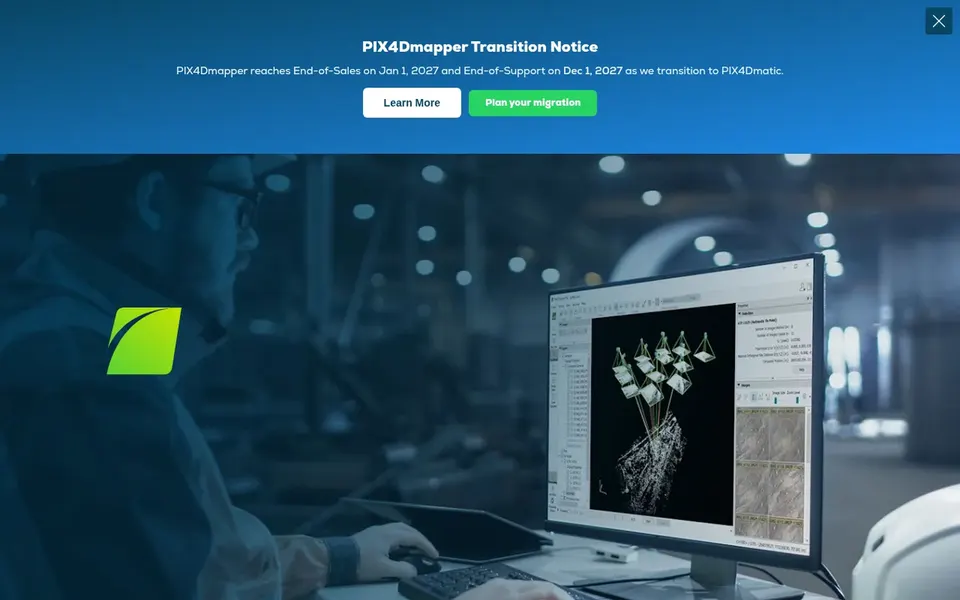
Pix4Dmapper is designed for professional drone photogrammetry and mapping. Pix4Dmapper is photogrammetry software made for professional drone mapping. Beyond that, if your work relies on advanced spatial analysis or heavy drawing production, pair it with GIS or CAD software.
Also, teams that capture with drones and want a dedicated mapping pipeline will find the workflow centered on turning photos into measurable deliverables. Beyond that, choose something else when image reconstruction is only a small part of a broader data management workflow. Pix4Dmapper shows no starting price here, so confirm the cost on the vendor site. Free plan details: Free trial.
The main drawbacks: Concentrated on photogrammetry instead of full GIS. Reasons to shortlist it: Established photogrammetry workflow.
Best for: Combining field survey data into deliverables
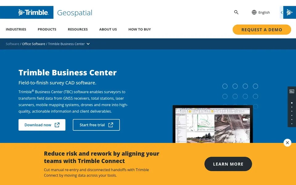
Think of Trimble Business Center for combining field survey data into deliverables. Consider it when your projects combine drone capture with conventional survey instruments and you want them handled together.
Limits to weigh: Best value for Trimble-centered workflows.
In practice, drone imagery becomes part of a wider survey data chain instead of a standalone product. This comparison lists no price for Trimble Business Center; ask the vendor. On free options: Not stated. What users get: Contains drone data in one office workflow.
Request quotes from Leica Infinity, Trimble Business Center and the others; the list shows no fixed prices.
Use real work to test the free trial from Virtual Surveyor and Pix4Dmapper, rather than a demo project.
Before choosing Leica Infinity, weigh its main limit: drone imagery is one input among plenty of.
List the apps you already depend on and check that Trimble Business Center supports each one on the plan you would buy.
Make sure DJI Terra lets you export your data in a format another tool can read.
How we picked
Ainotely looked at what each vendor publishes: pricing, plan limits, feature coverage for drone software for surveying and stated drawbacks. No hands-on testing is claimed. Plan names, prices and limits change often. Treat the figures here as a starting point and verify them with the vendor. Order on the page follows fit for the typical buyer first, then price transparency and free access. Your own requirements should decide the final pick.
Every price and plan detail on this page comes from the vendors’ own websites. We did not run hands-on tests unless the text says so, and we do not publish star ratings or review scores. See how we score and our disclosure.
Keep your shortlist in one place
Paste prices, trial dates and notes from this guide into Ainotely, our AI note app. It files them into a topic and pulls out tasks like “cancel trial by Friday”. Free 7-day trial, no card needed.
Is Leica Infinity the right pick for everyone comparing drone software for surveying?
No single tool suits every team. Leica Infinity comes first because it fits managing and checking field survey data, while DJI Terra suits fast 2D and 3D reconstruction from drone imagery and Virtual Surveyor suits lightweight CAD models from drone data. Match the tool to your own size, budget and workflow before deciding.
Does any tool for drone software for surveying here have a free plan?
A permanent free plan is not offered by Leica Infinity, Trimble Business Center or the other tools here. Virtual Surveyor, Pix4Dmapper offer a trial. Plan a short evaluation period instead.
How are the tools for drone software for surveying ordered?
The order follows typical fit for drone software for surveying, with Leica Infinity first and Trimble Business Center last, then price clarity and free access. It is editorial judgement, not a score, so another team could rank the tools differently.
Do I need both photogrammetry and GIS software for drone surveying?
Commonly yes. Photogrammetry software builds georeferenced maps and models from drone images, whereas GIS software supports analysis, data management and map production. Some teams use a single tool for more straightforward projects, but bigger workflows normally separate reconstruction from analysis.
Can I try these tools before paying?
Often, yes. Virtual Surveyor and Pix4Dmapper offer a free trial. Use your own data and a real task during the test, and check what the free tier or trial limits before you rely on it.
Is cloud processing important for drone survey data?
It can help when teams have to share large point clouds and models across offices or field crews. Decide based on collaboration needs and data policies instead of novelty.