For mining and earthworks data capture, Skycatch is where this list starts. Listed starting prices: SimActive Correlator3D from $295 a month. SimActive Correlator3D is the stronger choice for high-end mapping from several imagery sources, while Propeller Aero suits Earthworks and construction analytics. The full list of 5 tools follows, with prices and free plan facts.
If you are comparing drone survey software, this page covers 5 tools in one place: what each is best for, what it costs to start, whether it has a free plan, and the main limit to know about.
Key takeaways
Top of the list is Skycatch, which targets mining and earthworks data capture.
A permanent free plan is missing from all 5 tools, Skycatch and Esri ArcGIS Drone2Map included; plan for a trial or a premium start.
For GIS-integrated drone mapping, Esri ArcGIS Drone2Map is worth a look.
One limit worth knowing about Propeller Aero: centred on earthworks, may not suit all survey types.
In short, Skycatch is for mining and earthworks data capture. Skycatch offers near-real-time spatial data and AI capabilities that strengthen mine planning and execution.
Downsides: Centred on mining and earthworks.
It is a good match for mining operations seeking near-real-time data and AI-driven analytics. No starting price is listed for Skycatch here; confirm pricing on the vendor site. Free access: Not stated.
Best for: High-end mapping from several imagery sources
SimActive Correlator3D is aimed squarely at high-end mapping from several imagery sources. SimActive Correlator3D is high-end mapping software that supplies rapid processing of imagery from drones, aircraft, and satellites.
Highlights: High-end mapping software.
Correlator3D is concentrated on mapping and may not bundle the analytics or GIS integration of some other tools. In practice, if you need earthworks analytics, Propeller Aero could be a better choice; for GIS integration, consider Esri Drone2Map. The starting price for SimActive Correlator3D: $295 per month. As for free access: Free trial. Where it is weaker: Centred on mapping, not analytics.
Propeller Aero is built with Earthworks and construction analytics in mind. Propeller Aero gives you drone mapping and 3D construction data analytics, with a focus on smart surveys for earthworks. It supplies unified mapping and innovative analytics tools to enhance project efficiency.
The main drawbacks: Centred on earthworks.
It merges mapping with actionable data insights. In practice, Propeller Aero is specialized for earthworks and construction, so it may not be the best fit for general surveying or mapping projects outside those areas. If you need broader photogrammetry capabilities, consider Pix4Dmapper or SimActive Correlator3D. Propeller Aero shows no starting price here, so confirm the cost on the vendor site. On free options: Not stated.
Best for: Professional drone mapping and 3D modeling
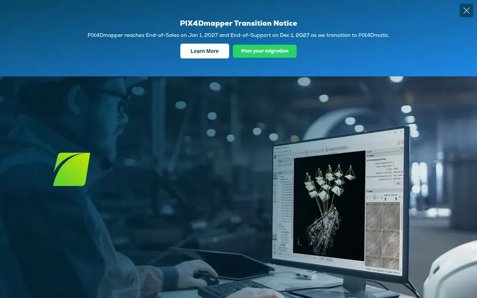
Pix4Dmapper was built for professional drone mapping and 3D modeling. Pix4Dmapper is specialized for photogrammetry and may not offer the broader GIS capabilities of some products. For everyday use, Pix4Dmapper is photogrammetry software made for professional drone mapping.
Watch-outs: Primarily centred on photogrammetry, not full GIS.
It transforms aerial and ground images into accurate, georeferenced maps and 3D models. It is noted for handling classic drone mapping tasks with a focus on accuracy and output quality. No starting price is listed for Pix4Dmapper here; confirm pricing on the vendor site. Free plan details: Free trial.
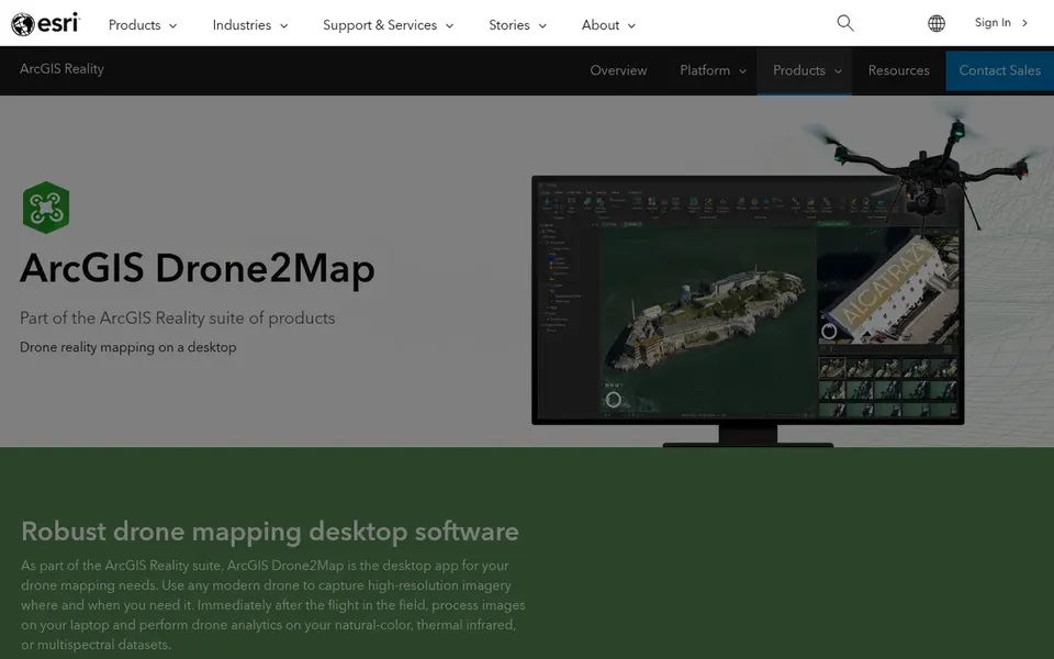
Esri ArcGIS Drone2Map targets GIS-integrated drone mapping. As a 2D and 3D photogrammetry app, it produces the outputs you need whereas integrating with the ArcGIS product. It supports a set of mapping outputs.
Drawbacks to consider: Needs ArcGIS environment for full benefits.
It may also have a ramp-up time for those new to GIS. For pure photogrammetry without GIS integration, consider Pix4Dmapper or SimActive Correlator3D. No starting price is listed for Esri ArcGIS Drone2Map here; confirm pricing on the vendor site. Free access: Not stated.
Ask Skycatch, Propeller Aero, Pix4Dmapper and Esri ArcGIS Drone2Map for a written quote, since no starting price is shown.
Use real work to test the free trial from SimActive Correlator3D and Pix4Dmapper, rather than a demo project.
Before choosing Skycatch, weigh its main limit: centred on mining and earthworks.
Check how data leaves Skycatch: formats, limits and whether exports are available on every plan.
Check whether the features you need in Pix4Dmapper sit on the entry plan or only on higher tiers.
How we picked
Selection started from tools commonly considered for drone survey software, then narrowed to 5 that have clear pricing information or a clear quote process. Prices and plan limits come from vendor pages and can change, so confirm them on the vendor site before you buy. Order on the page follows fit for the typical buyer first, then price transparency and free access. Your own requirements should decide the final pick.
Every price and plan detail on this page comes from the vendors’ own websites. We did not run hands-on tests unless the text says so, and we do not publish star ratings or review scores. See how we score and our disclosure.
Keep your shortlist in one place
Paste prices, trial dates and notes from this guide into Ainotely, our AI note app. It files them into a topic and pulls out tasks like “cancel trial by Friday”. Free 7-day trial, no card needed.
Is Skycatch the right pick for everyone comparing drone survey software?
No single tool suits every team. Skycatch comes first because it fits mining and earthworks data capture, while SimActive Correlator3D suits high-end mapping from various imagery sources and Propeller Aero suits Earthworks and construction analytics. Match the tool to your own size, budget and workflow before deciding.
How are the tools for drone survey software ordered?
The order follows typical fit for drone survey software, with Skycatch first and Esri ArcGIS Drone2Map last, then price clarity and free access. It is editorial judgement, not a score, so another team could rank the tools differently.
Does any tool for drone survey software here have a free plan?
No tool in this list, Skycatch and Esri ArcGIS Drone2Map included, has a permanent free plan. SimActive Correlator3D, Pix4Dmapper offer a trial. Trials and quotes are the usual route, so plan a short evaluation period.
What is the cheapest option for drone survey software in this list?
On published monthly entry prices, SimActive Correlator3D is the lowest here at $295 per month. Entry price is only part of the cost, because seats, add-ons and billing terms can change the total. For the full picture, the cards above cover all 5 entries of this Drone Survey software list, including price, free plan and limits.
Which drone survey software is a good match for GIS users?
For most readers this guide would start with Skycatch, built for mining and earthworks data capture. SimActive Correlator3D is the alternative for high-end mapping from several imagery sources, and Propeller Aero for Earthworks and construction analytics. The right answer depends on budget and workflow.