If you need reality capture within Autodesk workflows, Autodesk ReCap Pro is the first tool to look at here. Listed starting prices: Correlator3D from $295 a month. Bentley iTwin Capture Modeler is better for Bentley infrastructure engineering integration, and Pix4Dmapper is better for classic professional drone mapping. All 6 tools are compared below on price, free plan and limits.
Ainotely compared 6 tools for photogrammetry software for enterprise. The goal is a practical shortlist: published prices, free plan facts, best-fit use cases and honest limits for every entry.
Key takeaways
Autodesk ReCap Pro takes the first slot, best suited to reality capture within Autodesk workflows.
Correlator3D suits rapid processing of mixed imagery sources.
Autodesk ReCap Pro, Correlator3D and the 4 others all need a premium plan or a trial, since no free plan is listed.
Before buying iTwin Capture Modeler, weigh this: needs Bentley ecosystem familiarity for full value.
For the cheapest start, look at Correlator3D: $295 per month.
Less emphasis on infrastructure modeling integration
$295 per month
Free trial
The 6 picks in detail
AR
#1
Autodesk ReCap Pro
Best for: Reality capture within Autodesk workflows
Autodesk ReCap Pro serves reality capture within Autodesk workflows. Autodesk ReCap Pro is reality capture software within Autodesk's 3D design, engineering, and construction portfolio. Worth adding: Autodesk serves professionals who imagine, design, and produce, and ReCap Pro helps bring captured data into those design workflows.
Limits to weigh: May need extra Autodesk tools for full production.
ReCap Pro is one component of a bigger product, so photogrammetry-heavy production may need complementary processing tools. For everyday use, enterprises standardized on Autodesk tools can benefit from tighter integration. Autodesk ReCap Pro does not show a starting price in this comparison, so check the vendor site for current pricing. Free options: Not stated.
Best for: Bentley infrastructure engineering integration
Bentley iTwin Capture Modeler works best for Bentley infrastructure engineering integration. Enterprises already using Bentley tools can align capture workflows with their wider engineering data environment.
Downsides: Overlaps with the iTwin Capture Modeler listing.
It is most compelling for businesses committed to Bentley's infrastructure engineering stack instead of standalone photogrammetry. Bentley iTwin Capture Modeler shows no starting price here, so confirm the cost on the vendor site. Trial and free access: Not stated.
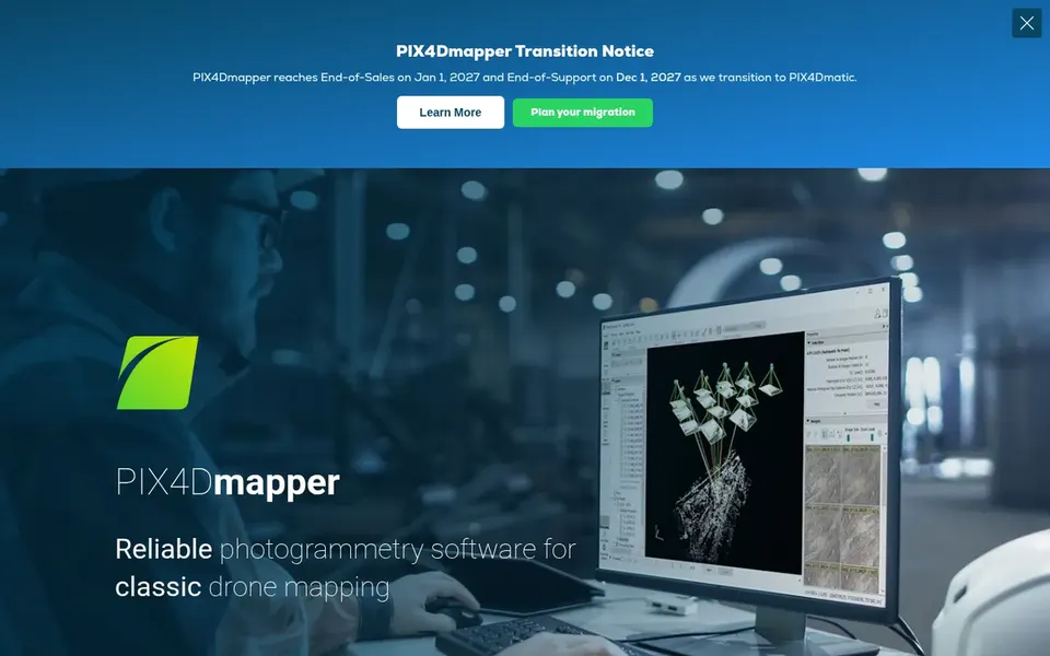
Pix4Dmapper targets classic professional drone mapping. Pix4Dmapper is photogrammetry software made for professional drone mapping. It transforms aerial and ground images into accurate, georeferenced maps and 3D models.
Enterprises that require dependable outputs from standard drone flights will find it a natural fit, particularly where repeatable mapping is a core requirement. Its scope centers on classic drone mapping, so teams needing deep infrastructure modeling or wide GIS analytics may pair it with other systems. Choose Pix4Dmapper when the priority is dependable drone-based mapping instead of an all-in-one reality modeling environment. Pricing for Pix4Dmapper is not stated here, so ask the vendor for current figures. Free access: Free trial.
Where it is weaker: Centred on classic drone mapping instead of wide infrastructure modeling.
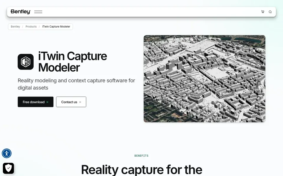
iTwin Capture Modeler is designed for infrastructure reality modeling. Choose it when reality modeling must feed into broader infrastructure engineering workflows.
Honest limits: Needs Bentley ecosystem familiarity for full value.
It lets users import LIDAR or imagery and organize data for quick, scalable 3D models, which fits infrastructure modeling projects. Check the vendor site for iTwin Capture Modeler pricing; none is listed in this comparison. As for free access: Not stated.
Where Trimble Business Center fits: Geospatial field-to-office workflows. Trimble Business Center is geospatial software within Trimble's broader technology solutions.
Check the vendor site for Trimble Business Center pricing; none is listed in this comparison. Free plan details: Not stated.
Drawbacks to consider: Photogrammetry is part of a broader geospatial toolset.
Best for: Rapid processing of mixed imagery sources
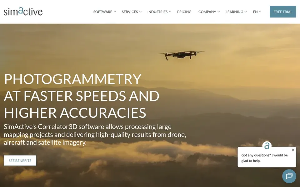
Correlator3D targets rapid processing of mixed imagery sources. It is designed for rapid processing of imagery from drones, aircraft, and satellites, making it relevant for enterprises that collect data across several systems.
Entry price for Correlator3D: $295 per month. Free options: Free trial.
Where it is weaker: Less emphasis on infrastructure modeling integration.
Ask Autodesk ReCap Pro, Bentley iTwin Capture Modeler, Pix4Dmapper and others for a written quote, since no starting price is shown.
Run a trial of Pix4Dmapper and Correlator3D with real work before paying for a year; your own workflow is the best test.
Read the limits listed for Autodesk ReCap Pro first: Photogrammetry is one part of a broader product.
Find out whether the entry plan of Bentley iTwin Capture Modeler covers your must-haves or only a trimmed-down version.
Before you load data into Autodesk ReCap Pro, check what an export looks like and who can run it.
How we picked
For each of the 6 tools we noted price, free plan or trial, fit for photogrammetry software for enterprise and the main limit, using vendor pages and documentation. Seat minimums, billing terms and add-ons can move the real cost, so the starting prices here are a guide and not a quote. We ordered the tools by general fit, then by how clearly pricing is shown, then by free access. A buyer with unusual needs may reorder them.
Every price and plan detail on this page comes from the vendors’ own websites. We did not run hands-on tests unless the text says so, and we do not publish star ratings or review scores. See how we score and our disclosure.
Keep your shortlist in one place
Paste prices, trial dates and notes from this guide into Ainotely, our AI note app. It files them into a topic and pulls out tasks like “cancel trial by Friday”. Free 7-day trial, no card needed.
What should enterprises look for in photogrammetry software?
Enterprises should prioritize supported input sources, output accuracy and formats, scalability, and integration with existing GIS, BIM, or survey systems. Data security and vendor support terms also matter for production deployments.
Can I try these tools before paying?
Often, yes. Pix4Dmapper and Correlator3D offer a free trial. Use your own data and a real task during the test, and check what the free tier or trial limits before you rely on it.
How are the tools for photogrammetry software for enterprise ordered?
The order follows typical fit for photogrammetry software for enterprise, with Autodesk ReCap Pro first and Correlator3D last, then price clarity and free access. It is editorial judgement, not a score, so another team could rank the tools differently.
Does any tool for photogrammetry software for enterprise here have a free plan?
A permanent free plan is not offered by Autodesk ReCap Pro, Correlator3D or the other tools here. Pix4Dmapper, Correlator3D offer a trial. Plan a short evaluation period instead.
Is Autodesk ReCap Pro the right pick for everyone comparing photogrammetry software for enterprise?
No single tool suits every team. Autodesk ReCap Pro comes first because it fits reality capture within Autodesk workflows, while Bentley iTwin Capture Modeler suits Bentley infrastructure engineering integration and Pix4Dmapper suits classic professional drone mapping. Match the tool to your own size, budget and workflow before deciding.