For rapid mapping from aerial imagery, SimActive Correlator3D is where this list starts. Listed starting prices: SimActive Correlator3D from $295 a month. For a different need, TerraSolid covers demanding point cloud and image processing and iTwin Capture Modeler covers scalable infrastructure reality modeling. The remaining 3 options are covered below with prices and limits.
Ainotely put together this guide to photogrammetry software for remote teams for readers who want a clear shortlist without reading every vendor page. It compares 6 tools on starting price, free plans, who each one suits and where each one falls short.
Key takeaways
SimActive Correlator3D takes the first slot, best suited to rapid mapping from aerial imagery.
Check the limits for iTwin Capture Modeler before you commit: wide system may need onboarding.
SimActive Correlator3D, FARO SCENE and the 4 others all need a premium plan or a trial, since no free plan is listed.
For the cheapest start, look at SimActive Correlator3D: $295 per month.
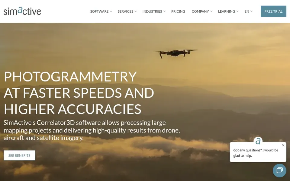
Pick SimActive Correlator3D if this describes you: rapid mapping from aerial imagery. SimActive Correlator3D is high-end mapping software made for rapid processing of imagery from drones, aircraft and satellites.
Points against: Narrower than full reality capture suites.
More specifically, since it centers on aerial imagery processing, teams needing point cloud editing or cloud collaboration may pair it with other tools. Those wanting a broader infrastructure modeling environment might look at iTwin Capture Modeler instead. Starting cost for SimActive Correlator3D: $295 per month. As for free access: Free trial.
Best for: Demanding point cloud and image processing
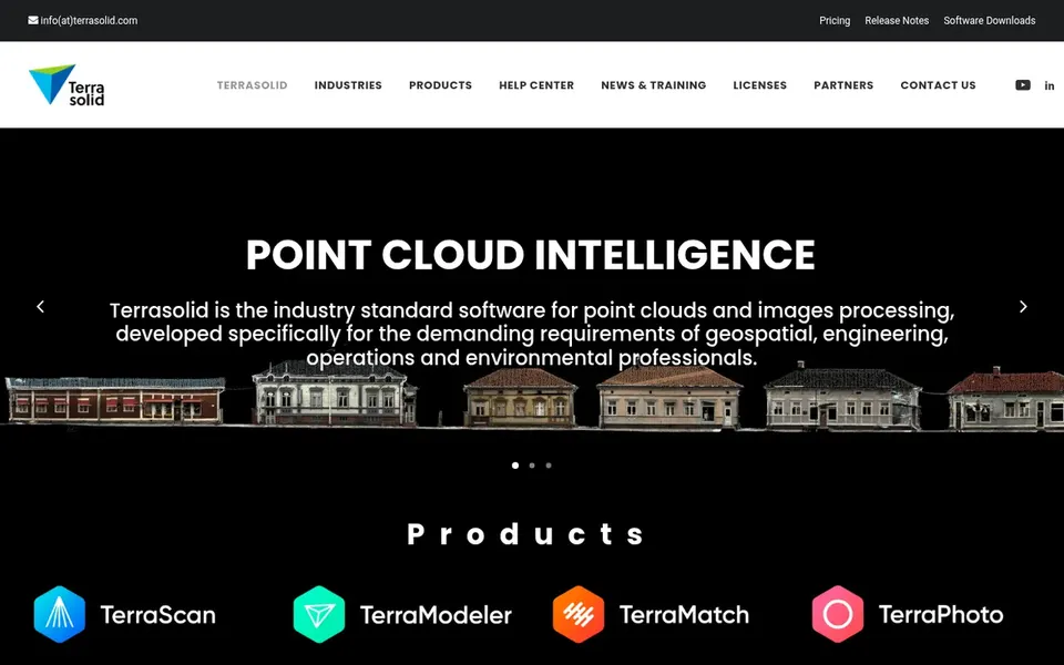
TerraSolid was built for demanding point cloud and image processing. TerraSolid describes itself as industry standard software for point cloud and image processing, developed for demanding requirements.
Remote teams with experienced LiDAR and photogrammetry specialists can use it for in-depth processing work. Its strength in demanding processing can mean a steeper ramp-up time for general users, and it is not primarily a cloud collaboration hub. No starting price is listed for TerraSolid here; confirm pricing on the vendor site. Trial and free access: Free trial.
Limits to weigh: Not a cloud collaboration system.
Best for: Scalable infrastructure reality modeling
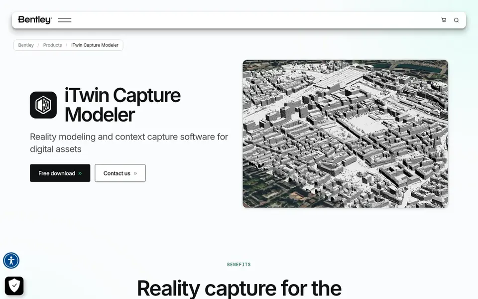
iTwin Capture Modeler was built for scalable infrastructure reality modeling. iTwin Capture Modeler is Bentley's reality modeling software for infrastructure projects. It lets teams import LIDAR or imagery and organize that data into quick, scalable 3D models.
Confirm format support and workflow fit on the vendor site before committing. Also, the tool is built around infrastructure modeling instead of general-purpose photogrammetry, so teams with lighter needs may find it broader than required. No starting price is listed for iTwin Capture Modeler here; confirm pricing on the vendor site. As for free access: Not stated.
Matterport is built with shared immersive 3D tours in mind. Matterport offers 3D cameras and a virtual tour software product that help teams digitize buildings and automatically build 3D tours, along with high-resolution photos and schematic floor plans.
Worth adding: remote teams that require stakeholders to walk through a space online can share immersive tours without specialist software. Confirm capture hardware requirements and sharing choices on the vendor site. Matterport does not show a starting price in this comparison, so check the vendor site for current pricing. Free options: Not stated.
Where it shines: share and collaborate in 3D. Drawbacks to consider: Centred on building spaces.
Choose Cintoo Cloud for Cloud collaboration on scan data. Cintoo Cloud is a digital twin product and reality capture software that turns scan data into high-fidelity digital twins. As a cloud product, it relies on dependable connectivity and fits scan-based workflows more than raw aerial photogrammetry processing.
Teams needing heavy in-house processing might pair it with TerraSolid or Correlator3D. For remote teams spread across sites, this cloud-first approach makes shared review of captured reality more practical than passing large files between offices. On top of that, check data residency and integration choices on the vendor site. Check the vendor site for Cintoo Cloud pricing; none is listed in this comparison. Free options: Not stated.
Where it is weaker: Concentrated on scan data workflows.
Pick FARO SCENE if this describes you: precise 3D measurement and imaging. FARO SCENE belongs to FARO's 3D measurement, imaging and realization portfolio, which the vendor positions for manufacturing, construction and public safety analytics. For everyday use, remote teams handling scan data from FARO devices can process and prepare it within a consistent software environment.
Since the offering is closely tied to FARO capture technology, teams with mixed or non-FARO equipment may need extra tools. Those seeking cloud-based collaboration on scan data might look at Cintoo Cloud. As for the details, verify device compatibility and export choices on the vendor site. No starting price is listed for FARO SCENE here; confirm pricing on the vendor site. As for free access: Not stated.
The main drawbacks: Oriented to FARO capture hardware.
Get a written quote from TerraSolid, iTwin Capture Modeler, Matterport and others; the list shows no starting price for them.
Use real work to test the free trial from SimActive Correlator3D and TerraSolid, rather than a demo project.
Before choosing SimActive Correlator3D, weigh its main limit: narrower than full reality capture suites.
Make sure SimActive Correlator3D lets you export your data in a format another tool can read.
Ask the daily users to test FARO SCENE on a live task before you roll it out to everyone.
How we picked
We compared the tools on published pricing, free plan or trial availability, feature coverage for photogrammetry software for remote teams, and the limits each vendor documents. Seat minimums, billing terms and add-ons can move the real cost, so the starting prices here are a guide and not a quote. Order on the page follows fit for the typical buyer first, then price transparency and free access. Your own requirements should decide the final pick.
Every price and plan detail on this page comes from the vendors’ own websites. We did not run hands-on tests unless the text says so, and we do not publish star ratings or review scores. See how we score and our disclosure.
Keep your shortlist in one place
Paste prices, trial dates and notes from this guide into Ainotely, our AI note app. It files them into a topic and pulls out tasks like “cancel trial by Friday”. Free 7-day trial, no card needed.
How can remote teams collaborate on scan data without passing large files around?
Cloud products for example Cintoo Cloud let teams collaborate on 3D meshes and run assets in a shared environment. Matterport similarly supports sharing immersive 3D tours online. Confirm access controls and connectivity needs before standardizing on a cloud workflow.
Does any tool for photogrammetry software for remote teams here have a free plan?
No tool in this list, SimActive Correlator3D and FARO SCENE included, has a permanent free plan. SimActive Correlator3D, TerraSolid offer a trial. Trials and quotes are the usual route, so plan a short evaluation period.
How are the tools for photogrammetry software for remote teams ordered?
SimActive Correlator3D sits first and FARO SCENE last because the order follows typical fit for photogrammetry software for remote teams, then price clarity and free access. It is a judgement call, so read each profile for fit and limits.
What is the cheapest option for photogrammetry software for remote teams in this list?
On published monthly entry prices, SimActive Correlator3D is the lowest here at $295 per month. Entry price is only part of the cost, because seats, add-ons and billing terms can change the total.
Is SimActive Correlator3D the right pick for everyone comparing photogrammetry software for remote teams?
No single tool suits every team. SimActive Correlator3D comes first because it fits rapid mapping from aerial imagery, while TerraSolid suits demanding point cloud and image processing and iTwin Capture Modeler suits scalable infrastructure reality modeling. Match the tool to your own size, budget and workflow before deciding.