Esri ArcGIS Pro leads the list, best for GIS mapping and spatial analytics. Trimble Business Center is the stronger choice for turning field data into deliverables, while Autodesk ReCap suits creating and cleaning point clouds. The full list of 5 tools follows, with prices and free plan facts.
Ainotely compared 5 tools for point cloud software. The goal is a practical shortlist: published prices, free plan facts, best-fit use cases and honest limits for every entry.
Key takeaways
Esri ArcGIS Pro sits first on this list: GIS mapping and spatial analytics.
FARO SCENE is the one to check for scan registration and processing.
A permanent free plan is missing from all 5 tools, Esri ArcGIS Pro and FARO SCENE included; plan for a trial or a premium start.
Esri ArcGIS Pro, FARO SCENE and the 3 others all sell by quote; expect sales conversations before you see a price.
One limit worth knowing about Autodesk Civil 3D: heavy focus beyond point clouds.
Esri ArcGIS Pro targets GIS mapping and spatial analytics. Point cloud data can be brought into a GIS context for broader spatial understanding.
From a buyer's view, non-GIS users may find the environment demanding. In daily use, ArcGIS Pro is not designed for scan registration or construction verification, so those steps need other software. Esri ArcGIS Pro does not show a starting price in this comparison, so check the vendor site for current pricing. Free access: Not stated.
Points against: Steeper ramp-up time for non-GIS users.
Trimble Business Center works best for turning field data into deliverables. For everyday use, results rely on consistent field collection.
More specifically, TBC leans toward surveying and geospatial production, so pure design or construction verification tasks may suit other tools. This comparison lists no price for Trimble Business Center; ask the vendor. Free plan details: Not stated.
Main advantages: Office software for survey workflows. Trade-offs to know: Survey-centric orientation.
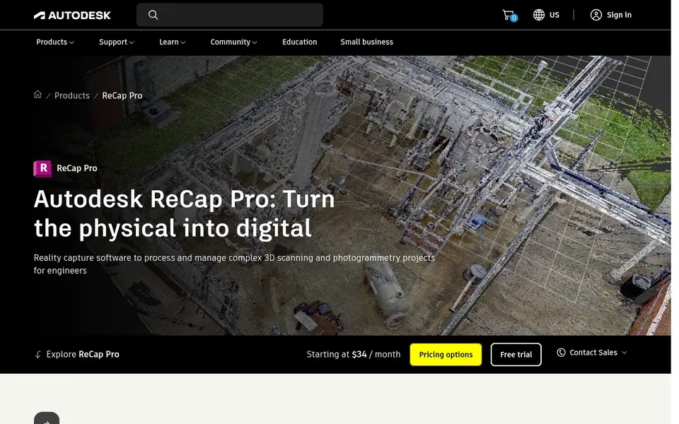
Choose Autodesk ReCap for creating and cleaning point clouds. Autodesk ReCap Pro is reality capture software for turning laser scans and photos into 3D models, visualizing point clouds and meshes, and managing capture data in the cloud. ReCap is primarily a preparation and visualization tool, so detailed design or analysis happens in other software.
More specifically, teams wanting deep civil design or GIS analytics should pair it with a dedicated design or mapping product. From a buyer's view, pick it when scan cleanup and reality capture organization are the priority. Check the vendor site for Autodesk ReCap pricing; none is listed in this comparison. Free access: Not stated.
Trade-offs to know: Focused on capture prep, not design.
Best for: Civil infrastructure design with surfaces
For Civil infrastructure design with surfaces, Autodesk Civil 3D is a natural candidate. Autodesk Civil 3D supports civil infrastructure design and documentation for roads, land development and surfaces.
Points against: Heavy focus beyond point clouds.
It also assumes civil design familiarity. No starting price is listed for Autodesk Civil 3D here; confirm pricing on the vendor site. As for free access: Not stated.
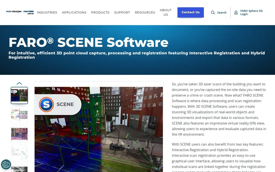
FARO SCENE was built for scan registration and processing. Recent updates add Interactive Registration and Hybrid Registration, which support easy-to-learn and efficient registration of scans.
For everyday use, SCENE is most solid within FARO scanning environments, so mixed-hardware teams may need additional steps. FARO SCENE does not show a starting price in this comparison, so check the vendor site for current pricing. Free plan details: Not stated.
Honest limits: Less suited to design documentation.
Ask each vendor, from Esri ArcGIS Pro to FARO SCENE, for a written quote; none of them publishes a starting price.
Read the limits listed for Esri ArcGIS Pro first: not a scan registration tool.
Let daily users try Trimble Business Center on real work; their feedback beats any feature checklist.
Confirm minimum seats and billing terms with Esri ArcGIS Pro before you commit to an annual plan.
Ask whether Autodesk ReCap integrates with your current software, and whether that comes standard or as an add-on.
How we picked
For each of the 5 tools we noted price, free plan or trial, fit for point cloud software and the main limit, using vendor pages and documentation. Prices and plan limits come from vendor pages and can change, so confirm them on the vendor site before you buy. The sequence is a judgement call: typical use case first, then pricing transparency, then free access. Use the profiles to check fit.
Every price and plan detail on this page comes from the vendors’ own websites. We did not run hands-on tests unless the text says so, and we do not publish star ratings or review scores. See how we score and our disclosure.
Keep your shortlist in one place
Paste prices, trial dates and notes from this guide into Ainotely, our AI note app. It files them into a topic and pulls out tasks like “cancel trial by Friday”. Free 7-day trial, no card needed.
Autodesk Civil 3D supports civil infrastructure design and surfaces that can draw on captured data. Plenty of teams first clean and register scans in a dedicated tool, then bring the results into civil design software for documentation.
How are the tools for point cloud software ordered?
Esri ArcGIS Pro sits first and FARO SCENE last because the order follows typical fit for point cloud software, then price clarity and free access. It is a judgement call, so read each profile for fit and limits.
Does any tool for point cloud software here have a free plan?
No tool in this list, Esri ArcGIS Pro and FARO SCENE included, has a permanent free plan. Trials and quotes are the usual route, so plan a short evaluation period.
Can I try these options before paying?
Not by default. None of the tools, from Esri ArcGIS Pro to FARO SCENE, lists a free plan or a free trial here, so ask each vendor for a demo before committing.
Do these tools publish their prices?
No. None of the tools, from Esri ArcGIS Pro to FARO SCENE, shows a fixed starting price here, so budget time for quotes.