MicroSurvey CAD comes first here, mainly for Survey-oriented CAD drafting. Look at Autodesk Civil 3D for Civil infrastructure design and documentation, and at Trimble Business Center for mixed field data to deliverables. All 5 tools are compared below on price, free plan and limits.
Ainotely compared 5 tools for Topcon MAGNET. The goal is a practical shortlist: published prices, free plan facts, best-fit use cases and honest limits for every entry.
Key takeaways
MicroSurvey CAD sits first on this list: Survey-oriented CAD drafting.
None of the 5 tools, from MicroSurvey CAD to Leica Infinity, has a free plan, so budget for a subscription or use a trial.
No starting price is shown for any of the 5 tools, MicroSurvey CAD and Leica Infinity included, so plan time for sales calls.
Check the limits for 12d Model before you commit: niche compared to bigger suites.
MicroSurvey CAD works best for Survey-oriented CAD drafting. Shops already comfortable with CAD workflows tend to adapt rapidly.
It suits teams that want a drafting-centered environment instead of a full civil design product. Check the vendor site for MicroSurvey CAD pricing; none is listed in this comparison. Free plan details: Not stated.
Trade-offs to know: Restricted civil design depth.
Best for: Civil infrastructure design and documentation
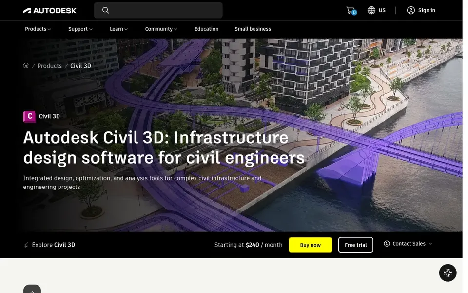
Where Autodesk Civil 3D fits: Civil infrastructure design and documentation. Worth adding: surveyors commonly feed data into it for design work. It is not a dedicated survey office package, so raw field data processing and quality checks may need another tool.
Also, if your priority is survey reduction and deliverables, a survey-focused product is likely the better starting point. In daily use, the environment is deep, and occasional users can find it heavy. This comparison lists no price for Autodesk Civil 3D; ask the vendor. Free options: Not stated.
Drawbacks to consider: Design-first, not survey-first.
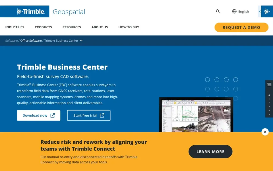
Choose Trimble Business Center for mixed field data to deliverables. Teams already working with Trimble field equipment will find the workflow familiar.
In practice, the software is built around the Trimble ecosystem, so mixed-vendor shops may need additional steps or exports. Pricing for Trimble Business Center is not stated here, so ask the vendor for current figures. On free options: Not stated.
12d Model works best for 3D civil and survey modeling. The vendor presents it as a way to make these workflows simpler in 3D.
Watch-outs: Confirm current capabilities with vendor.
It suits teams that want to build and work with three-dimensional models across survey and civil tasks. 12d Model shows no starting price here, so confirm the cost on the vendor site. As for free access: Not stated.
Pick Leica Infinity if this describes you: survey data processing and checks. Leica Infinity is geospatial office software for measurement professionals, meant to run, process, analyze and quality check field survey measurement data. Its strengths center on survey data management instead of civil infrastructure design, so road and land development teams may pair it with a design package.
Shops using other instrument brands should confirm import support. Choose something else if your central need is corridor or surface design instead of survey processing. Leica Infinity shows no starting price here, so confirm the cost on the vendor site. On free options: Not stated.
Ask each vendor, from MicroSurvey CAD to Leica Infinity, for a written quote; none of them publishes a starting price.
Before choosing MicroSurvey CAD, weigh its main limit: limited civil design depth.
Add up seats, add-ons and usage charges for 12d Model before comparing it with cheaper entries.
Confirm you can export your data from Leica Infinity, so leaving later does not mean losing records.
List the apps you already depend on and check that Autodesk Civil 3D supports each one on the plan you would buy.
How we picked
Selection started from tools commonly considered for Topcon MAGNET, then narrowed to 5 that have clear pricing information or a clear quote process. Where a price is missing, the vendor does not list one publicly or ties it to a quote. Always confirm before budgeting. Position on the page reflects fit for a typical buyer first, with price clarity and free access breaking ties. Treat it as a guide, not a ruling.
Every price and plan detail on this page comes from the vendors’ own websites. We did not run hands-on tests unless the text says so, and we do not publish star ratings or review scores. See how we score and our disclosure.
Keep your shortlist in one place
Paste prices, trial dates and notes from this guide into Ainotely, our AI note app. It files them into a topic and pulls out tasks like “cancel trial by Friday”. Free 7-day trial, no card needed.
No. None of the tools, from MicroSurvey CAD to Leica Infinity, shows a fixed starting price here, so budget time for quotes.
Is MicroSurvey CAD the right pick for everyone comparing Topcon MAGNET?
No single tool suits every team. MicroSurvey CAD comes first because it fits Survey-oriented CAD drafting, while Autodesk Civil 3D suits Civil infrastructure design and documentation and Trimble Business Center suits mixed field data to deliverables. Match the tool to your own size, budget and workflow before deciding.
Can I try these tools before paying?
Not by default. None of the tools, from MicroSurvey CAD to Leica Infinity, lists a free plan or a free trial here, so ask each vendor for a demo before committing.
How do I verify features before choosing?
Use the vendor product pages and documentation as your primary source, and confirm current import formats, modules and compatibility straight with the vendor. Feature sets change, so check details close to the time you decide rather than relying on older descriptions.
Does any tool for Topcon MAGNET here have a free plan?
No tool in this list, MicroSurvey CAD and Leica Infinity included, has a permanent free plan. Trials and quotes are the usual route, so plan a short evaluation period.