OpenSpace is the first pick on this list for visual progress documentation on jobsites. Look at vHive for autonomous drone hives and digital twins, and at Esri ArcGIS Drone2Map for teams already using ArcGIS. Prices, free plans and limits for all 6 tools follow.
Choosing software for drone maps in construction usually comes down to price, fit and limits. This Ainotely guide sets 6 tools side by side on those three points, with the facts kept short and checkable.
Key takeaways
OpenSpace sits first on this list: visual progress documentation on jobsites.
A fair warning about Propeller Aero: concentrated on earthworks use cases.
Every tool from OpenSpace to Skycatch works by quote, with no list price shown.
None of the 6 tools, from OpenSpace to Skycatch, has a free plan, so budget for a subscription or use a trial.
For near-real-time spatial data and AI, Skycatch is worth a look.
Best for: Visual progress documentation on jobsites
OpenSpace makes the most sense for visual progress documentation on jobsites. OpenSpace is a visual intelligence system made for construction teams that turns jobsite imagery into live insights for quicker decisions. Its homepage notes use on a large number of projects worldwide.
Watch-outs: Not a photogrammetry engine.
On top of that, OpenSpace is documentation-focused instead of a full photogrammetry processing suite, so teams needing survey-grade volumes may pair it with a mapping tool. Choose it when visual progress tracking and remote review matter more than terrain modeling. Check the vendor site for OpenSpace pricing; none is listed in this comparison. Trial and free access: Not stated.
Best for: Autonomous drone hives and digital twins
Where vHive fits: autonomous drone hives and digital twins. The hive-based model is a larger commitment than occasional drone flights, and teams wanting straightforward map outputs may not need it.
For one-off surveys or photogrammetry processing, a cloud mapping service is likely more straightforward to adopt. Check the vendor site for vHive pricing; none is listed in this comparison. Free plan details: Not stated.
Trade-offs to know: Hardware-centric deployment model.
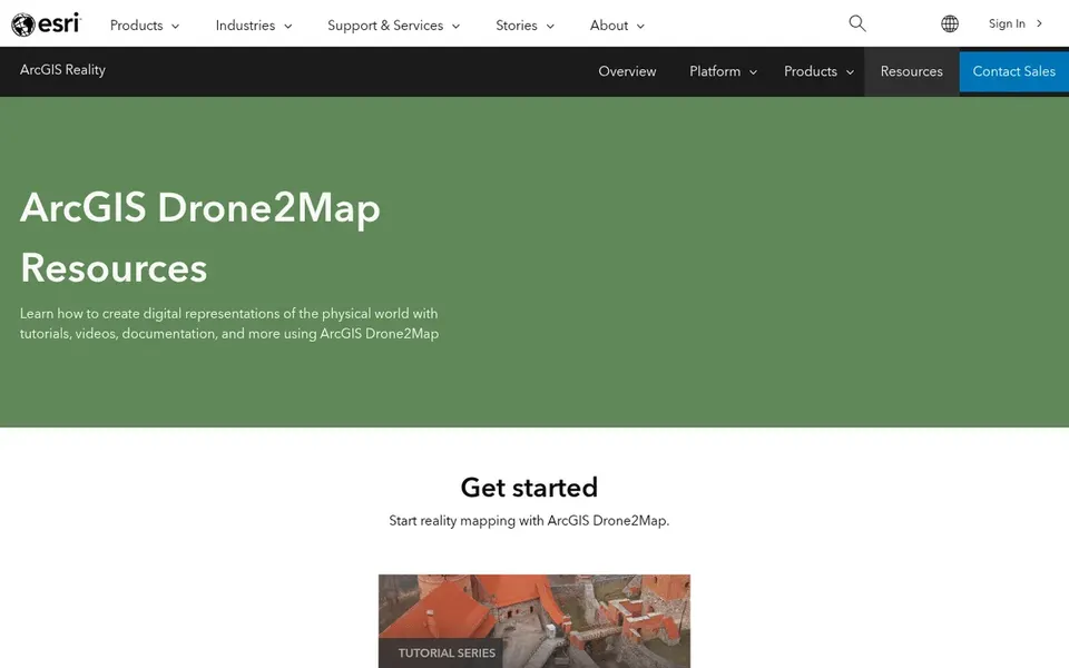
Esri ArcGIS Drone2Map is a good fit for teams already using ArcGIS. It fits organizations already standardized on ArcGIS that want drone capture to feed existing GIS layers, maps and analysis instead of sit in a separate silo.
Points against: Best value inside Esri workflows.
Check the vendor site for Esri ArcGIS Drone2Map pricing; none is listed in this comparison. Free plan details: Not stated.
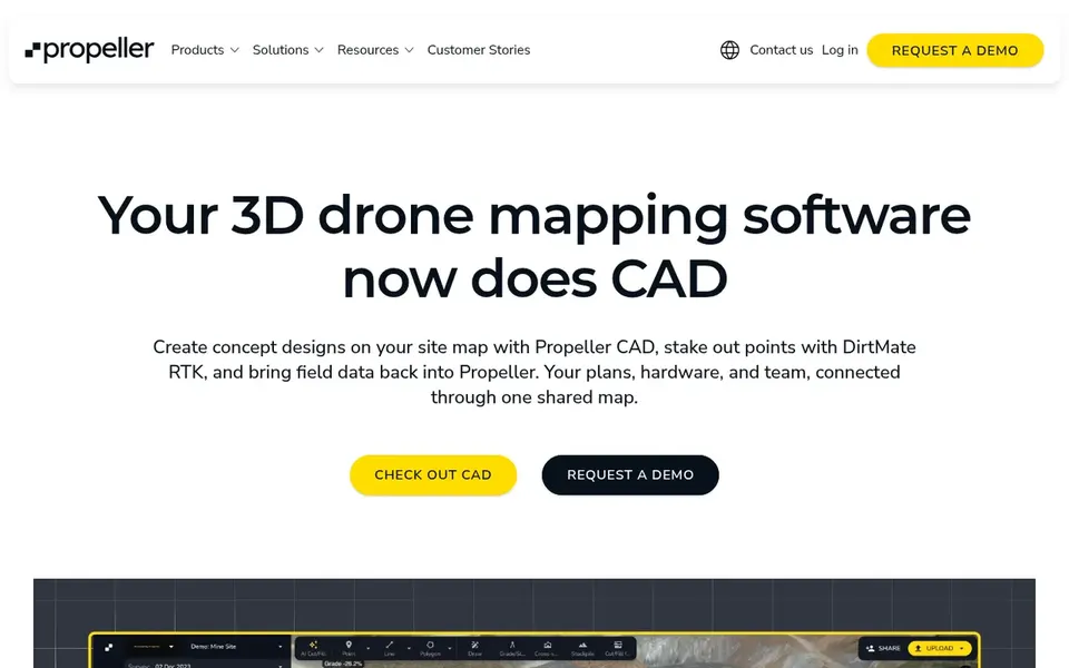
Propeller Aero was built for Earthworks surveys and site analytics. Its homepage flags smart surveys for earthworks and unified mapping with analytics tools meant to boost project efficiency.
What to check first: Centred on earthworks use cases.
As for the details, consider alternatives when your priority is visual progress capture inside buildings or a general-purpose mapping engine instead of site analytics. Since the product is oriented toward earthworks and analytics, teams needing indoor documentation or pure photogrammetry processing may look elsewhere. This comparison lists no price for Propeller Aero; ask the vendor. Free plan details: Not stated.
Pix4Dcloud is built with cloud photogrammetry and map sharing in mind. Teams wanting an all-in-one site analytics system may prefer a construction-focused option. Pix4Dcloud is cloud-based drone mapping software that draws on Pix4D photogrammetry expertise online.
It automatically extracts information from images to produce 2D and 3D maps and models, and lets users upload desktop results for sharing and collaboration. The product centers on photogrammetry and sharing, so construction-specific analytics like cut and fill tracking may need extra workflows. Pix4Dcloud does not show a starting price in this comparison, so check the vendor site for current pricing. On free options: Free trial.
Honest limits: Construction workflows need extras.
Skycatch works best for near-real-time spatial data and AI. Skycatch offers near-real-time spatial data and AI capabilities, with public messaging emphasizing mine planning and execution following its acquisition by Caterpillar.
Honest limits: Construction fit needs verification.
If your work is building-focused instead of heavy earthworks, a construction-specific system may be a better starting point. Also, since the vendor's stated focus is mining, construction buyers should confirm that jobsite features and support match their needs. Check the vendor site for Skycatch pricing; none is listed in this comparison. Trial and free access: Not stated.
Confirm the entry price with every vendor: no tool from OpenSpace to Skycatch shows a fixed starting price.
Use real work to test the free trial from Pix4Dcloud, rather than a demo project.
Read the limits listed for OpenSpace first: not a photogrammetry engine.
Check the integration list for OpenSpace against the tools you run today, and note which ones need a higher plan.
A short pilot of vHive with your real workflow tells you more than a feature table.
How we picked
We compared the tools on published pricing, free plan or trial availability, feature coverage for software for drone maps in construction, and the limits each vendor documents. Treat prices as a snapshot: vendors change plans often, so check the vendor site for the figure that applies today. Tools are placed by general fit for software for drone maps in construction, with price clarity and free access as tie-breakers. A different team can reasonably rank them differently.
Every price and plan detail on this page comes from the vendors’ own websites. We did not run hands-on tests unless the text says so, and we do not publish star ratings or review scores. See how we score and our disclosure.
Keep your shortlist in one place
Paste prices, trial dates and notes from this guide into Ainotely, our AI note app. It files them into a topic and pulls out tasks like “cancel trial by Friday”. Free 7-day trial, no card needed.
Is OpenSpace the right pick for everyone comparing software for drone maps in construction?
No single tool suits every team. OpenSpace comes first because it fits visual progress documentation on jobsites, while vHive suits autonomous drone hives and digital twins and Esri ArcGIS Drone2Map suits teams already using ArcGIS. Match the tool to your own size, budget and workflow before deciding.
Can I try these tools before paying?
Often, yes. Pix4Dcloud offers a free trial. Use your own data and a real task during the test, and check what the free tier or trial limits before you rely on it.
Can these tools support progress monitoring over time?
Multiple choices emphasize progress monitoring and comparison against plans, whereas others focus on map and model production. Match the tool to whether you need recurring tracking or one-time survey deliverables.
Does any tool for software for drone maps in construction here have a free plan?
No tool in this list, OpenSpace and Skycatch included, has a permanent free plan. Pix4Dcloud offer a trial. Trials and quotes are the usual route, so plan a short evaluation period.
How are the tools for software for drone maps in construction ordered?
OpenSpace sits first and Skycatch last because the order follows typical fit for software for drone maps in construction, then price clarity and free access. It is a judgement call, so read each profile for fit and limits.