Trimble Business Center comes first here, mainly for office processing of mixed field data. Alternatives: Autodesk ReCap Pro for reality capture and point cloud management, and DJI Terra for efficient 2D and 3D reconstruction. The remaining 3 options are covered below with prices and limits.
Choosing drone mapping software for land surveyors usually comes down to price, fit and limits. This Ainotely guide sets 6 tools side by side on those three points, with the facts kept short and checkable.
Key takeaways
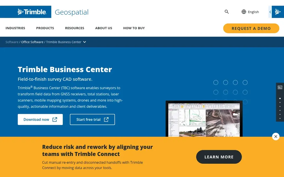
Trimble Business Center takes the first slot, best suited to office processing of mixed field data.
No starting price is shown for any of the 6 tools, Trimble Business Center and Virtual Surveyor included, so plan time for sales calls.
Check the limits for Trimble Business Center before you commit: complicated for new users.
Virtual Surveyor suits CAD models from drone surveys.
Trimble Business Center is a good fit for office processing of mixed field data. The system supports creating actionable survey outputs from drone imagery alongside conventional measurements.
Where it shines: Produces actionable deliverables.
The main drawbacks: Needs Trimble ecosystem familiarity.
This comparison lists no price for Trimble Business Center; ask the vendor. Free plan details: Not stated.
Best for: Reality capture and point cloud management
Choose Autodesk ReCap Pro for reality capture and point cloud management. Autodesk ReCap Pro helps create 3D models from laser scans and photos, visualize point clouds and meshes, and handle reality capture data in the cloud. Surveyors can use it to view and share drone-derived point clouds within Autodesk workflows.
It is handy when reality capture data needs to be integrated with design or modeling software. In daily use, ReCap Pro is not a full drone mapping or photogrammetry suite, so it lacks advanced survey tools like contour generation or volumetrics. Autodesk ReCap Pro does not show a starting price in this comparison, so check the vendor site for current pricing. Trial and free access: Not stated.
Limits to weigh: Concentrated on reality capture instead of mapping.
For efficient 2D and 3D reconstruction, DJI Terra is a natural candidate. Surveyors using DJI drones may find it a convenient way to create models and maps from their flights. Also, the software is closely tied to the DJI ecosystem and may not offer the deep survey analysis found in dedicated office software.
Where it is weaker: May lack advanced survey analysis.
From a buyer's view, DJI Terra is 3D modeling software with next-generation reconstruction technologies, including 3D Gaussian Splatting. It supports accurate and efficient 2D and 3D reconstruction from visible light imagery. This comparison lists no price for DJI Terra; ask the vendor. On free options: Not stated.
Esri ArcGIS Pro is a good fit for GIS analysis and mapping. ArcGIS Pro is not a primary drone image processor, so you will have to bring in processed data from photogrammetry software. It also assumes GIS knowledge, which may be a barrier for surveyors new to GIS.
On top of that, ArcGIS Pro is feature-rich desktop GIS software with advanced tools for managing spatial data, performing mapping and analytics, and creating visualizations. In practice, for land surveyors, it gives you a solid environment to analyze and present drone-derived data alongside other spatial layers. Pricing for Esri ArcGIS Pro is not stated here, so ask the vendor for current figures. Free plan details: Not stated.
Best for: Dependable photogrammetry for classic drone mapping
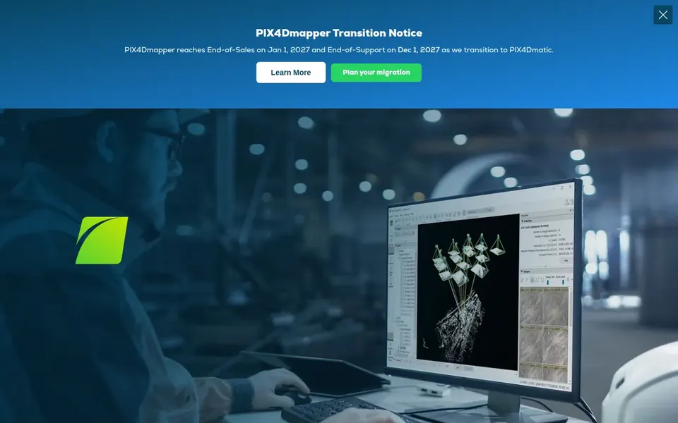
In short, Pix4Dmapper is for dependable photogrammetry for classic drone mapping. Pix4Dmapper is photogrammetry software aimed at professional drone mapping.
Honest limits: May need powerful hardware.
It transforms aerial and ground images into accurate, georeferenced maps and 3D models, making it a solid fit for surveyors who require dependable outputs from image sets. This comparison lists no price for Pix4Dmapper; ask the vendor. On free options: Free trial.
Virtual Surveyor targets CAD models from drone surveys. The tool is designed around survey workflows rather than raw photogrammetry. Also, for end-to-end image processing, pair it with a dedicated photogrammetry tool.
Also, Virtual Surveyor is smart drone surveying software used for topographic surveying, mining and quarrying, construction earthworks and stockpile inventory. It helps produce light CAD models from drone data, making it a practical choice for surveyors who require clean deliverables without heavy modeling. Virtual Surveyor shows no starting price here, so confirm the cost on the vendor site. Free plan details: Free trial.
Trade-offs to know: Depends on imported survey data.
Request quotes from Trimble Business Center, Virtual Surveyor and the others; the list shows no fixed prices.
Use real work to test the free trial from Pix4Dmapper and Virtual Surveyor, rather than a demo project.
Read the limits listed for Trimble Business Center first: complicated for new users.
Work out what Autodesk ReCap Pro costs with your real seat count, add-ons and usage, not just the entry price.
Ask Trimble Business Center which support channels and response times come with the plan you would buy.
How we picked
Ainotely used vendor pricing pages and product documentation as the base, then compared plans, free access and documented limits for 6 tools. Where a price is missing, the vendor does not list one publicly or ties it to a quote. Always confirm before budgeting. Tools are placed by general fit for drone mapping software for land surveyors, with price clarity and free access as tie-breakers. A different team can reasonably rank them differently.
Every price and plan detail on this page comes from the vendors’ own websites. We did not run hands-on tests unless the text says so, and we do not publish star ratings or review scores. See how we score and our disclosure.
Keep your shortlist in one place
Paste prices, trial dates and notes from this guide into Ainotely, our AI note app. It files them into a topic and pulls out tasks like “cancel trial by Friday”. Free 7-day trial, no card needed.
Does any tool for drone mapping software for land surveyors here have a free plan?
No tool in this list, Trimble Business Center and Virtual Surveyor included, has a permanent free plan. Pix4Dmapper, Virtual Surveyor offer a trial. Trials and quotes are the usual route, so plan a short evaluation period.
Is Trimble Business Center the right pick for everyone comparing drone mapping software for land surveyors?
No single tool suits every team. Trimble Business Center comes first because it fits office processing of mixed field data, while Autodesk ReCap Pro suits reality capture and point cloud management and DJI Terra suits efficient 2D and 3D reconstruction. Match the tool to your own size, budget and workflow before deciding.
Do these tools publish their prices?
No. None of the tools, from Trimble Business Center to Virtual Surveyor, shows a fixed starting price here, so budget time for quotes.
How does Virtual Surveyor differ from photogrammetry software?
Virtual Surveyor centres on creating light CAD models from drone data, whereas photogrammetry software like Pix4Dmapper processes raw images into maps and models. Virtual Surveyor usually depends on data processed elsewhere.
Is DJI Terra a good match for professional land surveying?
DJI Terra supplies efficient 2D and 3D reconstruction from visible light imagery, which can support survey mapping. That said, it may lack advanced survey analysis tools found in dedicated office software.
Can I try these tools before paying?
Often, yes. Pix4Dmapper and Virtual Surveyor offer a free trial. Use your own data and a real task during the test, and check what the free tier or trial limits before you rely on it.