UrbanFootprint comes first here, mainly for resilience and climate risk decision intelligence. Bentley OpenCities Planner is the stronger choice for 2D/3D GIS for engineering and geospatial workflows, while Esri ArcGIS Urban suits collaborative scenario planning and data-driven decisions. Details, prices and limits for the rest of the 5 tools are below.
Choosing Urban planning and design software for enterprise usually comes down to price, fit and limits. This Ainotely guide sets 5 tools side by side on those three points, with the facts kept short and checkable.
Key takeaways
UrbanFootprint is the opening pick, best for resilience and climate risk decision intelligence.
Autodesk Civil 3D suits in-depth civil engineering design and documentation.
The main caution on Bentley OpenCities Planner: may need Bentley ecosystem.
UrbanFootprint, Autodesk Civil 3D and the 3 others all sell by quote; expect sales conversations before you see a price.
Neither UrbanFootprint nor Autodesk Civil 3D, nor any of the other 3 tools, has a permanent free plan; trials and quotes are the norm.
In-depth civil engineering design and documentation
See website
Primarily engineering-focused
The 5 picks in detail
UF
#1
UrbanFootprint
Best for: Resilience and climate risk decision intelligence
UrbanFootprint serves resilience and climate risk decision intelligence. UrbanFootprint is a decision intelligence system for assessing risk and making data-driven decisions related to urban, climate, and community resilience. It is made for enterprises that require to evaluate vulnerability and plan for sustainable outcomes.
Teams seeking comprehensive planning and design capabilities might combine it with Esri ArcGIS Urban or Autodesk Civil 3D for in-depth documentation. On top of that, UrbanFootprint may not handle the full range of urban design and engineering workflows that other tools offer. No starting price is listed for UrbanFootprint here; confirm pricing on the vendor site. As for free access: Not stated.
Best for: 2D/3D GIS for engineering and geospatial workflows
Bentley OpenCities Planner is aimed squarely at 2D/3D GIS for engineering and geospatial workflows. The tool is especially handy for organizations already using Bentley's suite.
Teams seeking advanced resilience analytics might consider UrbanFootprint, whereas those needing in-depth civil design could look at Civil 3D. Check the vendor site for Bentley OpenCities Planner pricing; none is listed in this comparison. Free access: Not stated.
Best for: Collaborative scenario planning and data-driven decisions
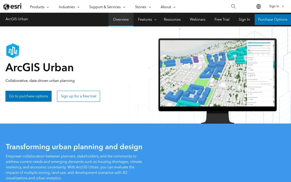
Esri ArcGIS Urban was built for collaborative scenario planning and data-driven decisions. Esri ArcGIS Urban is a planning and design option that helps cities optimize land use, analyze data, and produce sustainable environments.
Limits to weigh: Steep ramp-up time for non-GIS users.
It is aimed at enterprise-scale collaboration, allowing planners and decision-makers to visualize scenarios and share insights. Beyond that, organizations seeking standalone planning tools or more straightforward interfaces might consider alternatives like UrbanFootprint for resilience-focused analytics. Esri ArcGIS Urban does not show a starting price in this comparison, so check the vendor site for current pricing. As for free access: Not stated.
Best for: Contextual infrastructure design and visualization
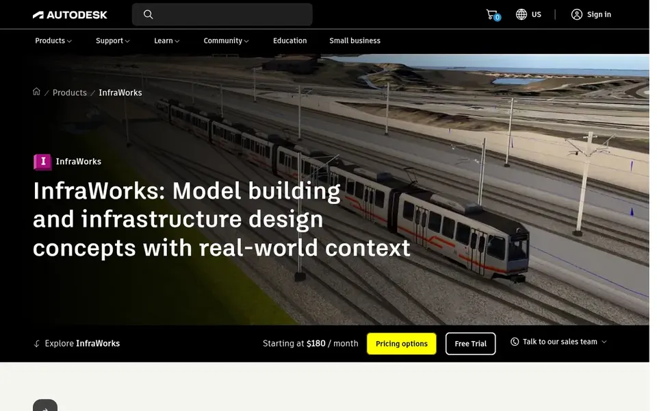
Autodesk InfraWorks works best for contextual infrastructure design and visualization. The software helps bridge the gap between conceptual planning and in-depth design.
Teams centred on in-depth engineering documentation might pair it with Civil 3D, whereas those prioritizing resilience metrics could look at UrbanFootprint. Check the vendor site for Autodesk InfraWorks pricing; none is listed in this comparison. Free options: Not stated.
Drawbacks to consider: Restricted advanced planning features.
Best for: In-depth civil engineering design and documentation
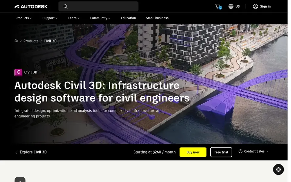
Autodesk Civil 3D is built with in-depth civil engineering design and documentation in mind. Planners seeking collaborative scenario tools might choose Esri ArcGIS Urban or Bentley OpenCities Planner instead.
Autodesk Civil 3D is a civil infrastructure design and documentation option used for roads, land development, and surfaces. Autodesk Civil 3D shows no starting price here, so confirm the cost on the vendor site. Free access: Not stated.
The main drawbacks: Primarily engineering-focused.
Confirm the entry price with every vendor: no tool from UrbanFootprint to Autodesk Civil 3D shows a fixed starting price.
Read the limits listed for UrbanFootprint first: narrower scope than full planning suites.
Ask UrbanFootprint about contract length, onboarding fees and user minimums before you sign.
Map your must-have features to a specific Bentley OpenCities Planner plan before you compare prices.
Involve the people who will use Autodesk InfraWorks daily; a short pilot beats a long feature checklist.
How we picked
Each tool was reviewed on what its vendor publishes: price, plan limits, core features and stated drawbacks. We did not run hands-on tests. Prices and plan limits come from vendor pages and can change, so confirm them on the vendor site before you buy. Position on the page reflects fit for a typical buyer first, with price clarity and free access breaking ties. Treat it as a guide, not a ruling. That approach shaped the order of the 5 Urban planning and design software for enterprise tools listed here.
Every price and plan detail on this page comes from the vendors’ own websites. We did not run hands-on tests unless the text says so, and we do not publish star ratings or review scores. See how we score and our disclosure.
Keep your shortlist in one place
Paste prices, trial dates and notes from this guide into Ainotely, our AI note app. It files them into a topic and pulls out tasks like “cancel trial by Friday”. Free 7-day trial, no card needed.
Can these tools connect with existing enterprise systems?
Numerous tools, for example Esri ArcGIS Urban and Autodesk Civil 3D, are meant to connect with broader products like ArcGIS and BIM workflows. Bentley OpenCities Planner also accommodates geospatial and engineering data.
Do these tools publish their prices?
No. None of the tools, from UrbanFootprint to Autodesk Civil 3D, shows a fixed starting price here, so budget time for quotes.
How are the tools for Urban planning and design software for enterprise ordered?
The order follows typical fit for Urban planning and design software for enterprise, with UrbanFootprint first and Autodesk Civil 3D last, then price clarity and free access. It is editorial judgement, not a score, so another team could rank the tools differently.
Can I try these tools before paying?
Not by default. None of the tools, from UrbanFootprint to Autodesk Civil 3D, lists a free plan or a free trial here, so ask each vendor for a demo before committing.
Is UrbanFootprint the right pick for everyone comparing Urban planning and design software for enterprise?
No single tool suits every team. UrbanFootprint comes first because it fits resilience and climate risk decision intelligence, while Bentley OpenCities Planner suits 2D/3D GIS for engineering and geospatial workflows and Esri ArcGIS Urban suits collaborative scenario planning and data-driven decisions. Match the tool to your own size, budget and workflow before deciding.